Ortho Photo maps provided as Geo TIFF Map, jpeg, or pdf formats. Can be shared as a fully explorable project in Drone Deploy. Analysis can include elevation, plant health, elevation contours (.shp file), elevation DEM, 3-D rendering, point cloud (.las file), distance, area, surface profile, and volumetric. Resolution up to 0.59in/px. Centimeter level geographic positioning accuracy achieved through DJI RTK module and a RTK network using ground control points.
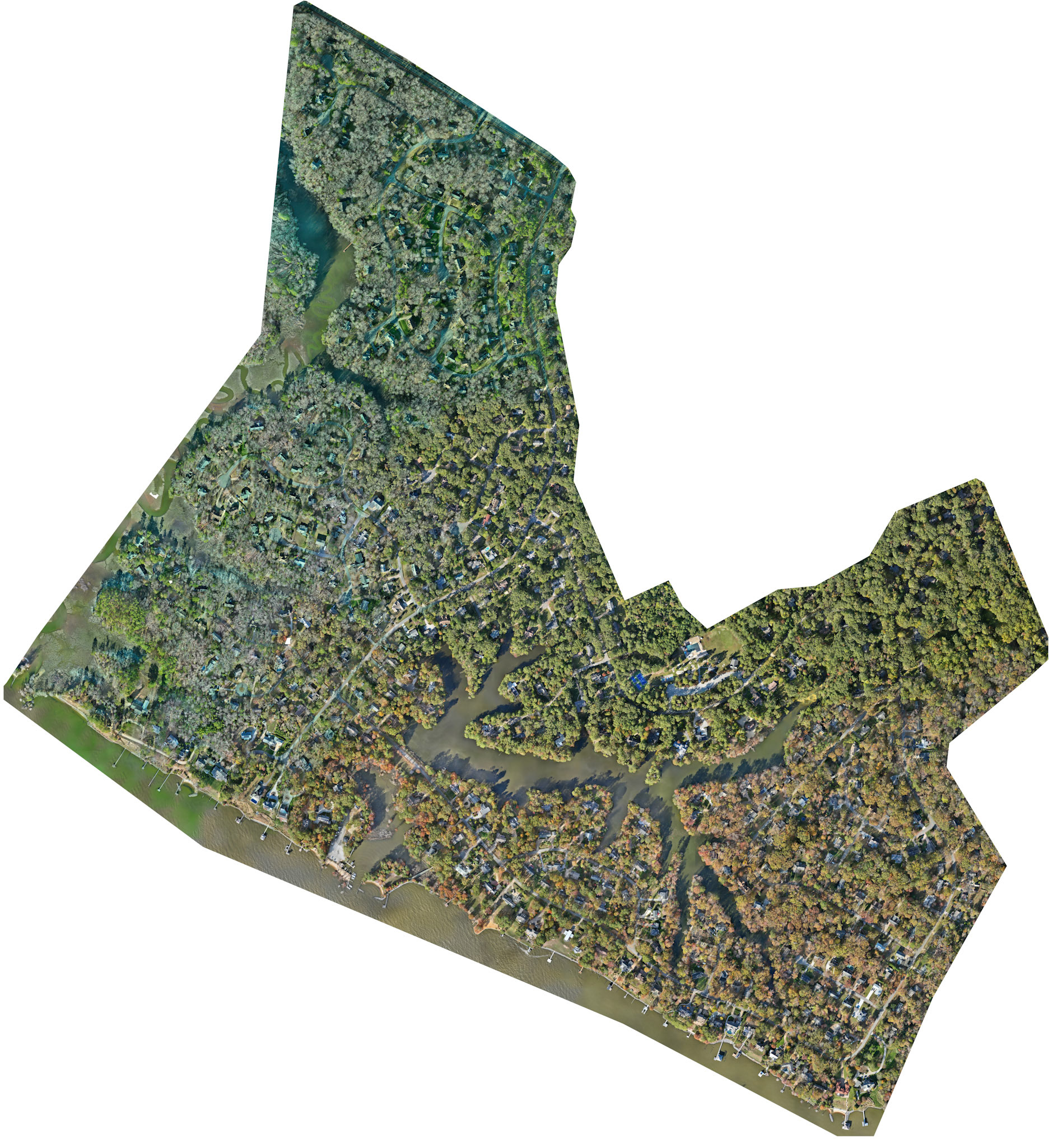
568 acres (0.7 in/px resolution).)
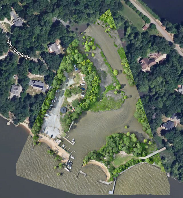
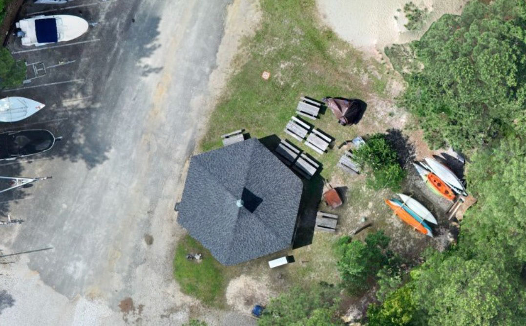
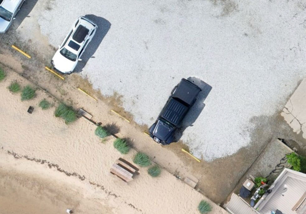
1st Colony Marina

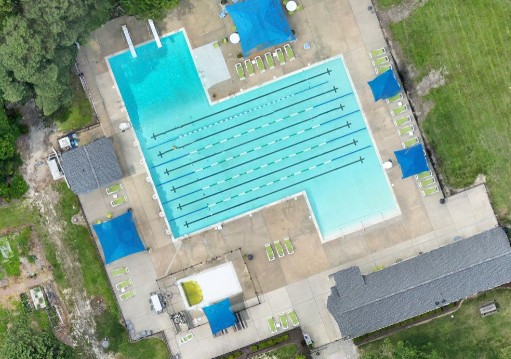
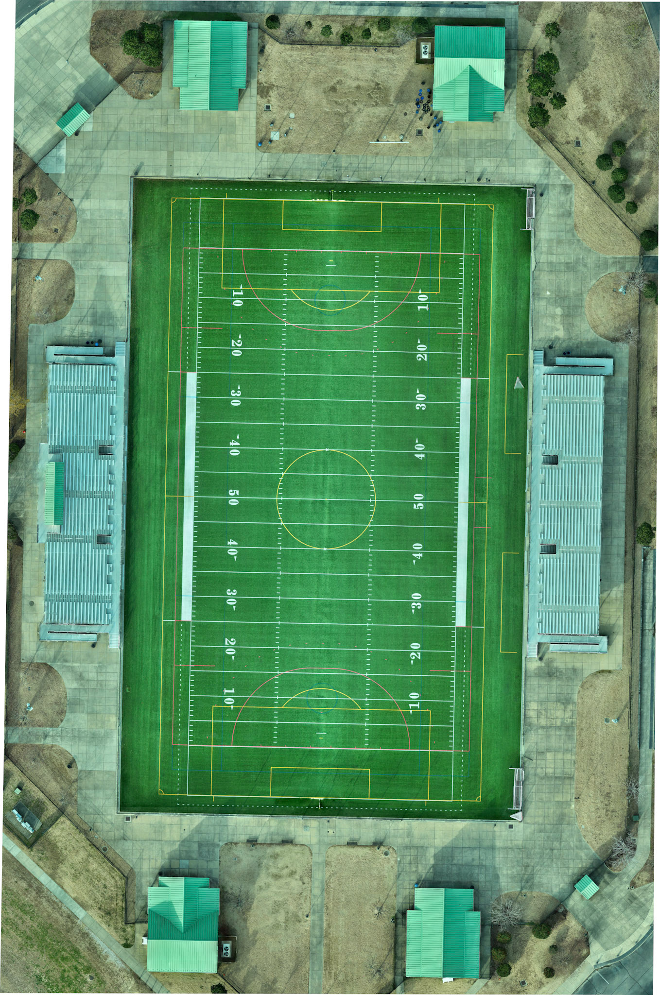
High Resolution Centimeter Level Detail
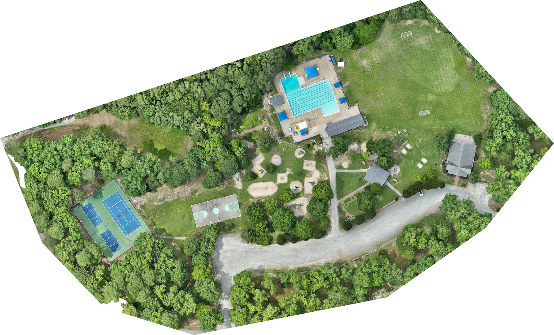
High Resolution 20 MP/cm
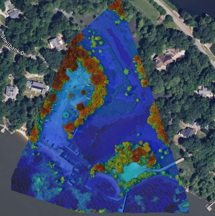
Elevation Analysis
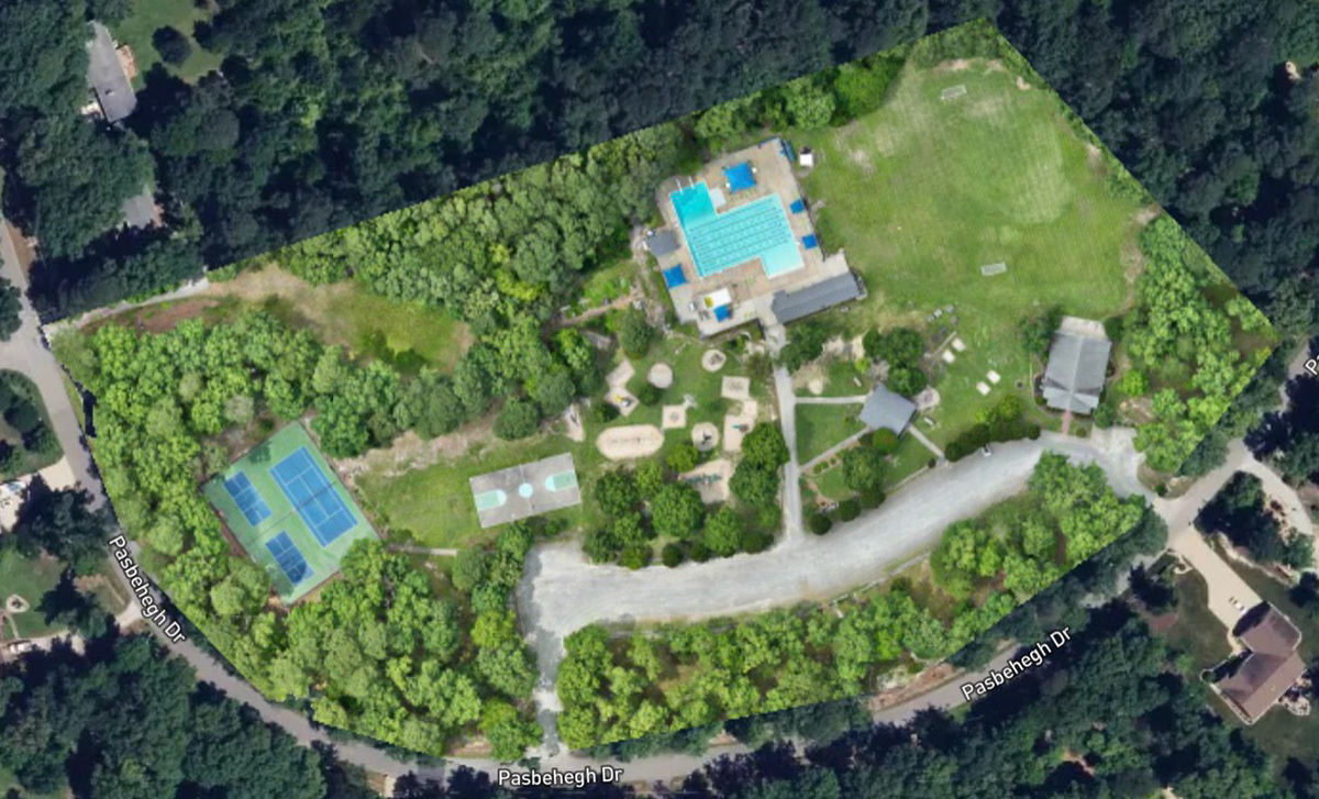
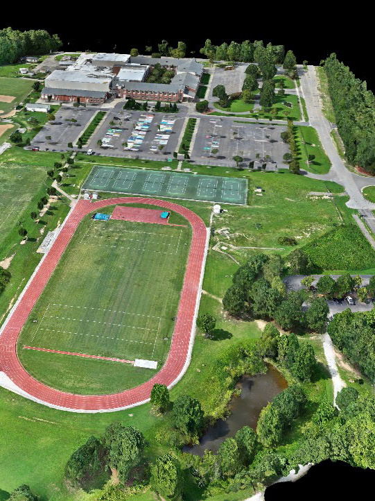
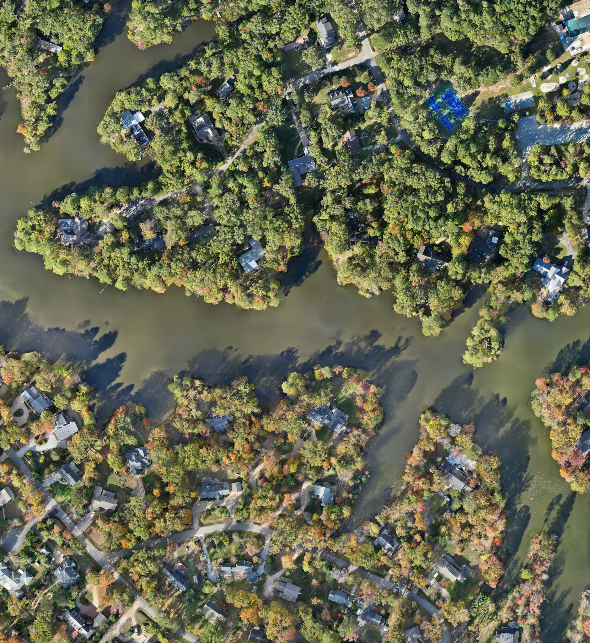
1st Colony Pool, Clubhouse and Recreation
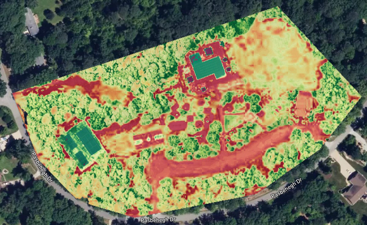
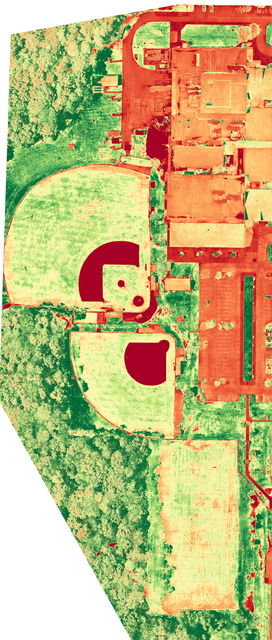
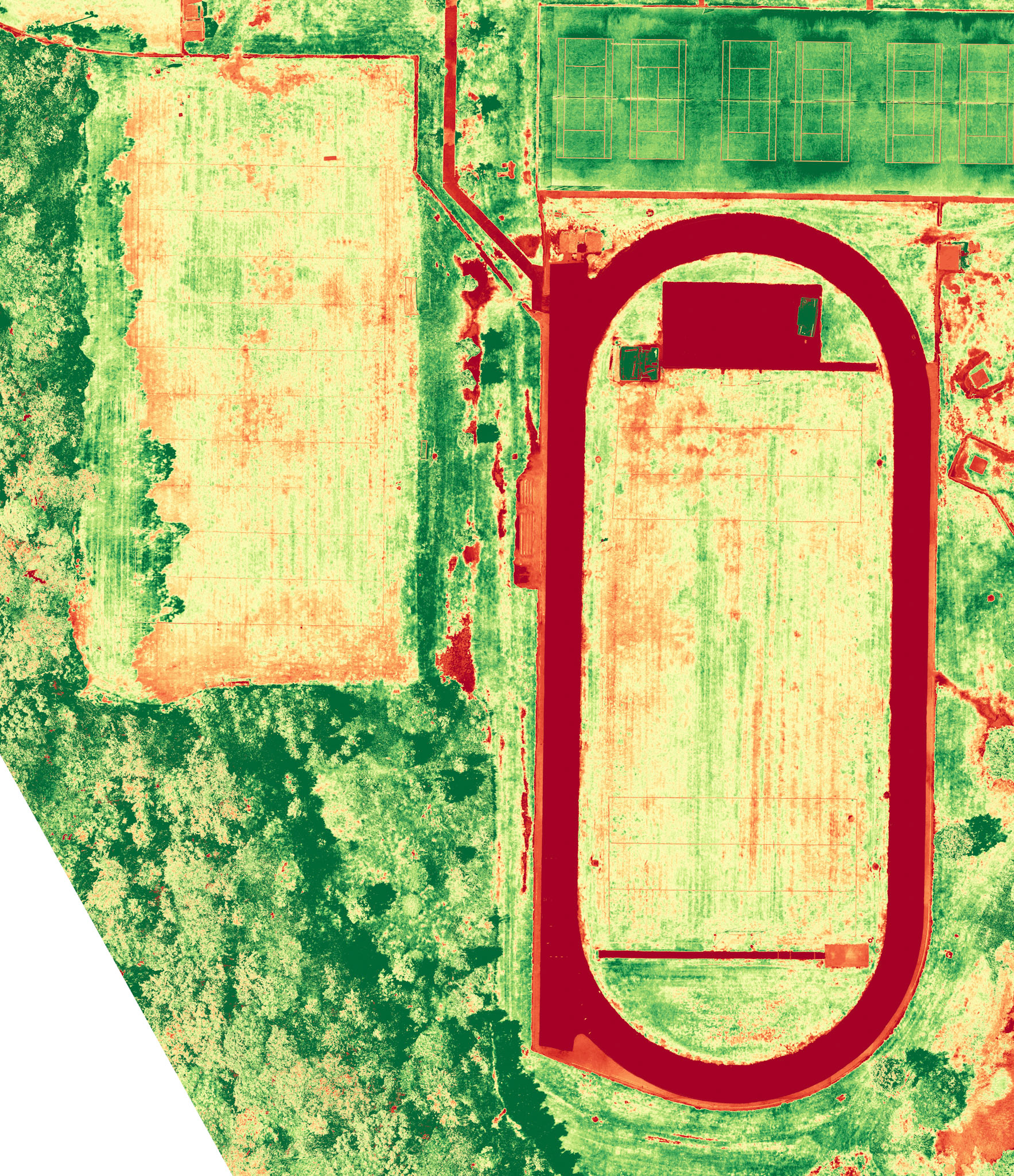
Plant Health Analysis
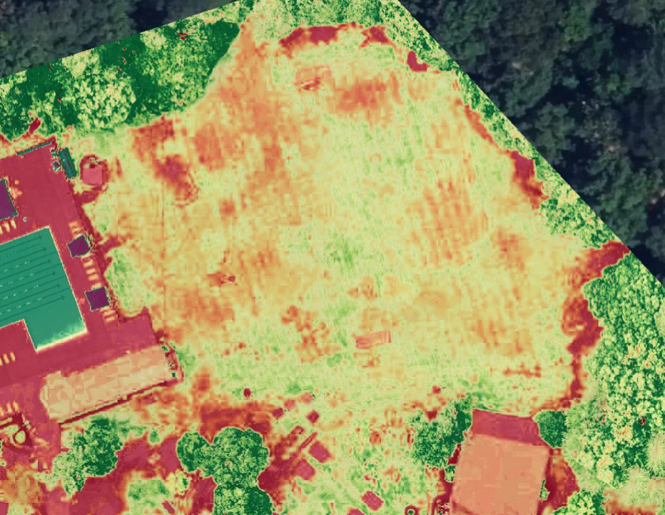
Plant Health Analysis
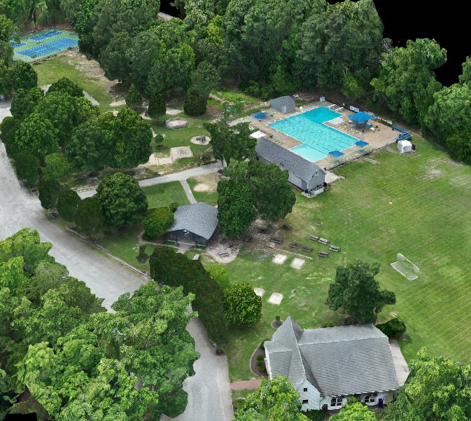
3-D Rendering
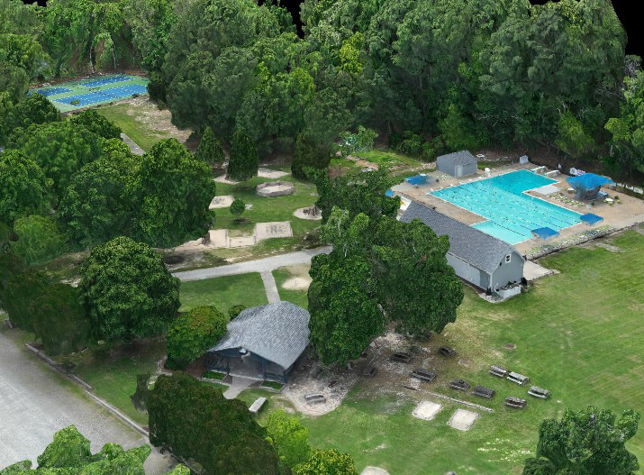
3-D Rendering
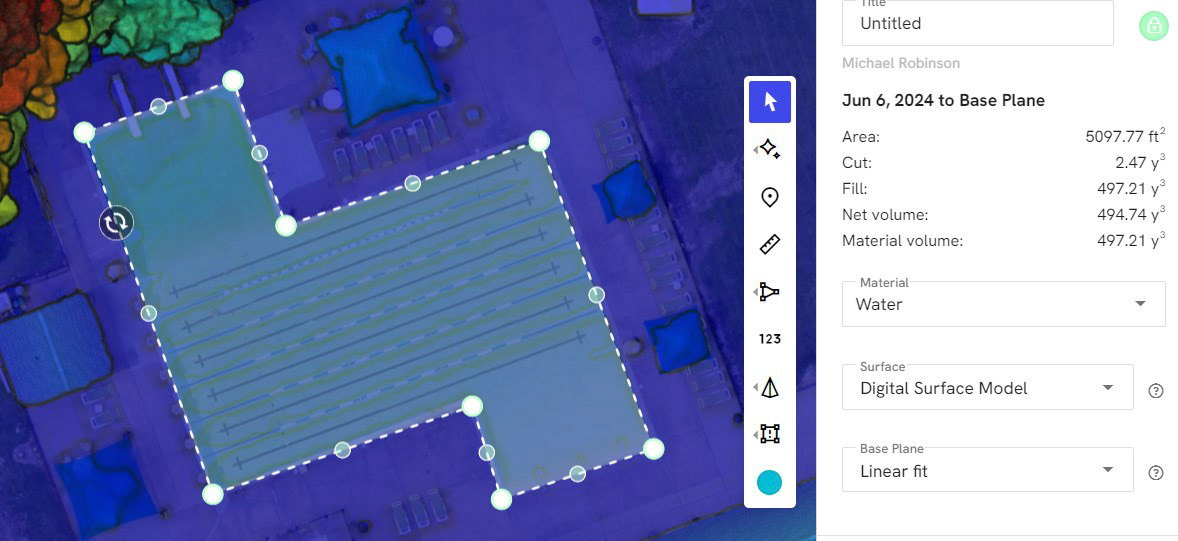
Volumetric Analysis
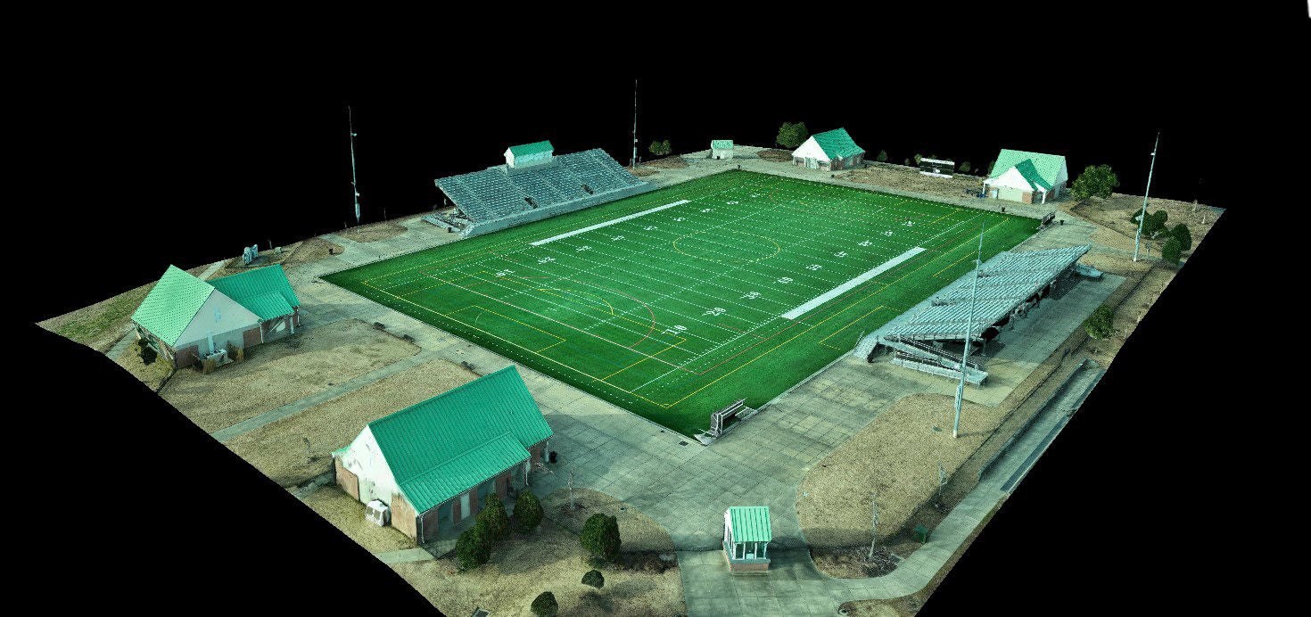
3-D Rendering
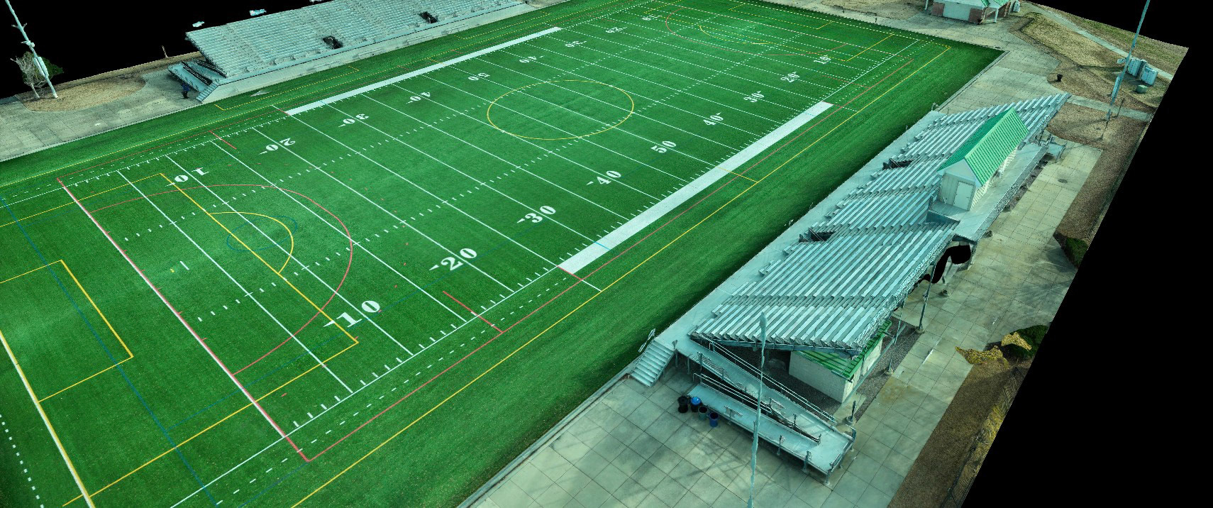
3-D Rendering
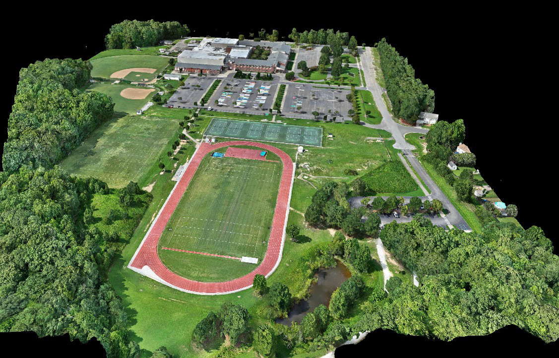
Aerial Survey 3-D rendering
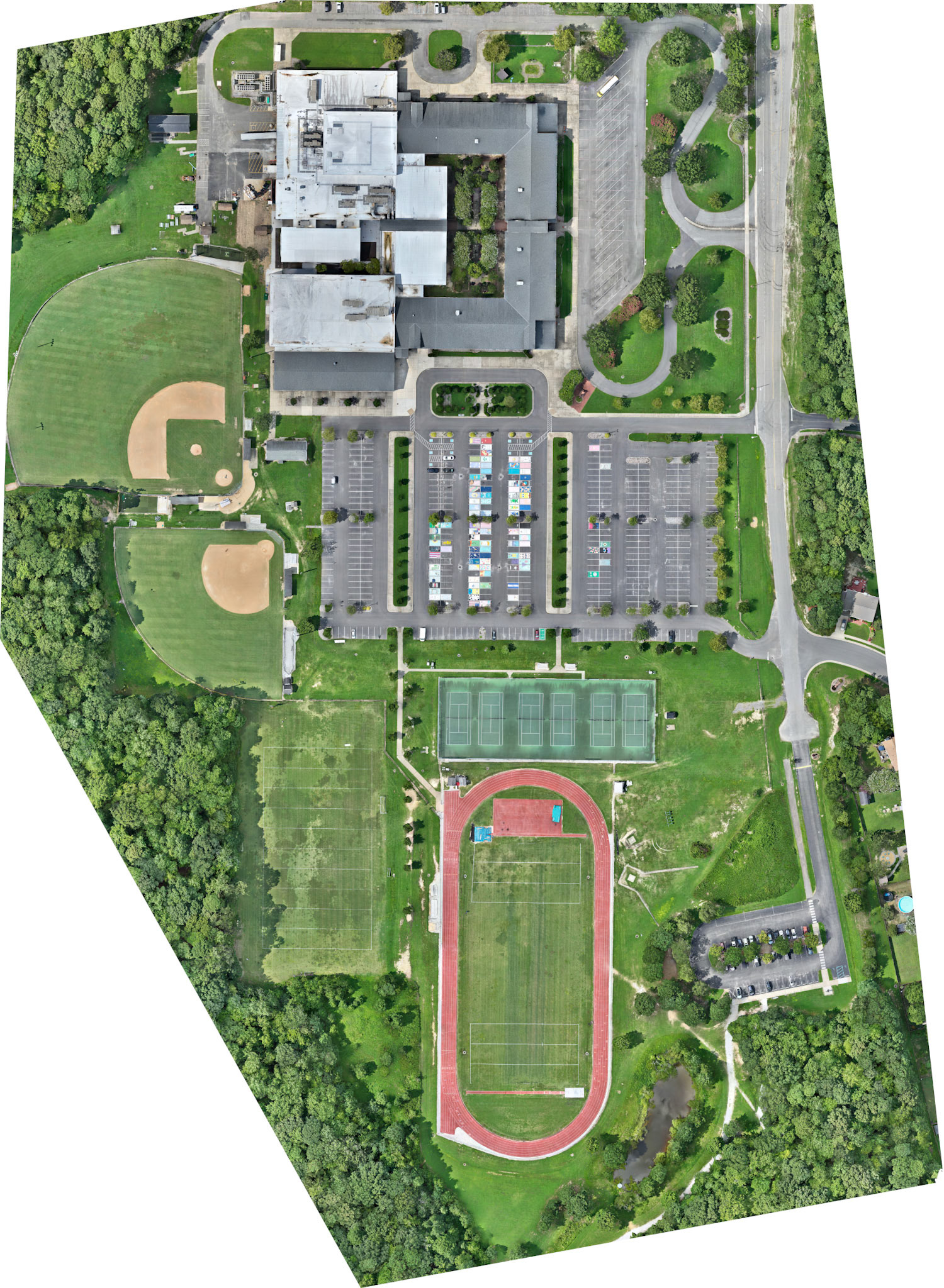
Aerial Survey (RTK cm level accuracy)