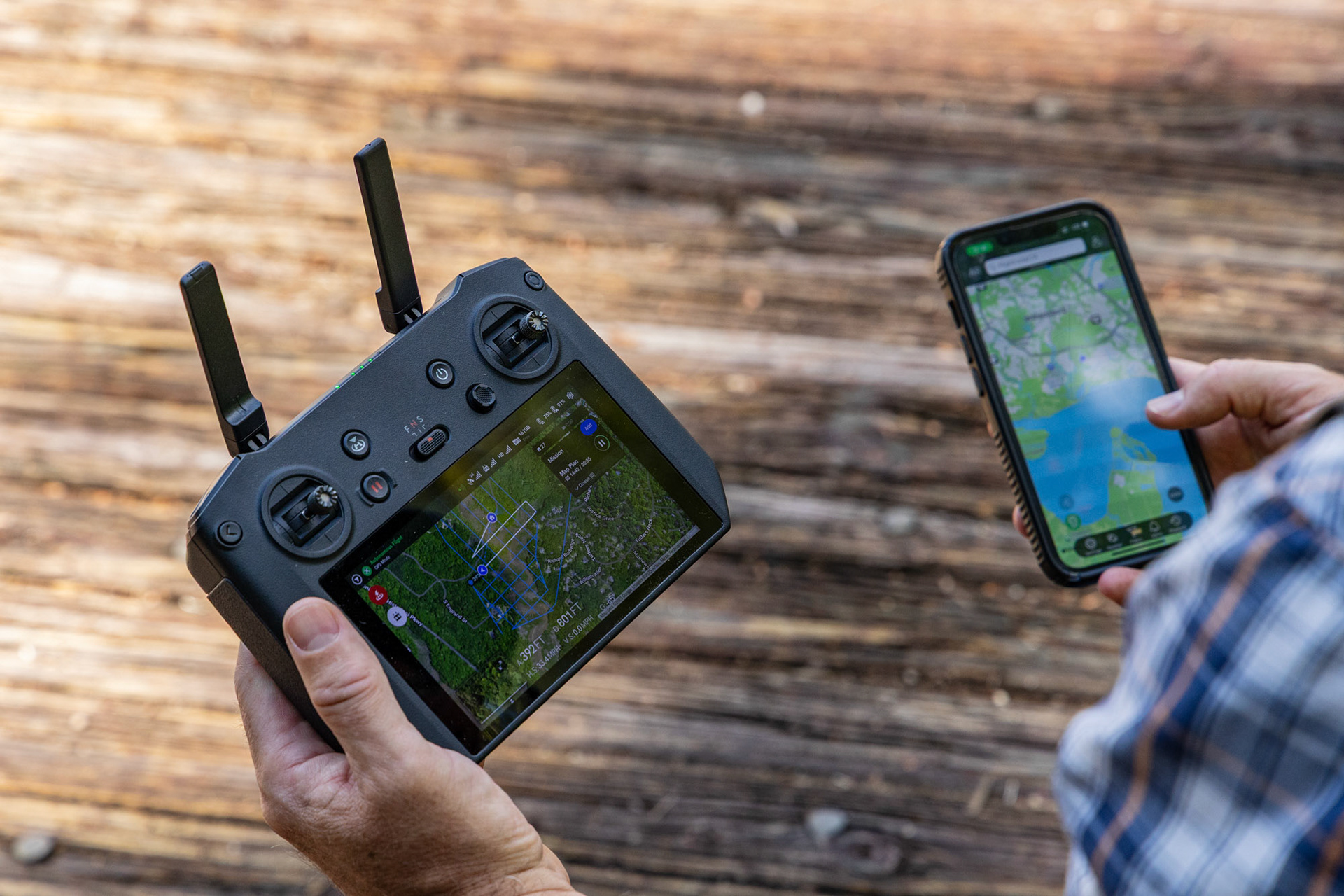
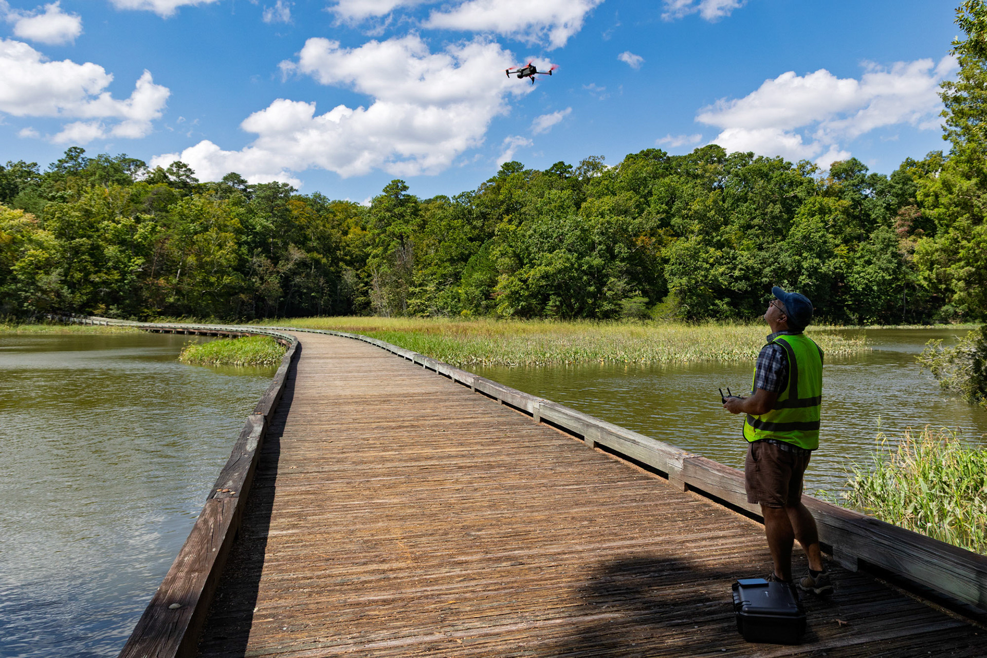
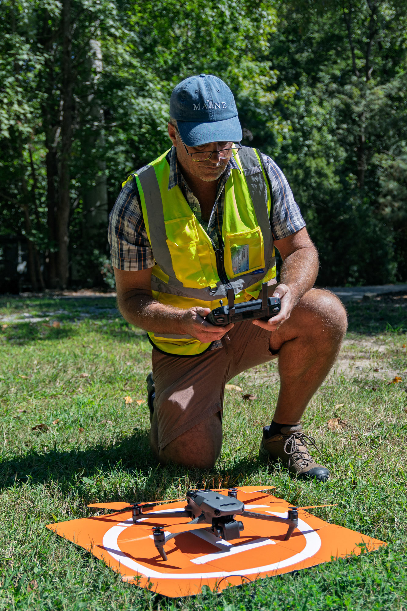
Mohawk Aerial PhotoScapes has been providing Virginia quality aerial survey maps, photography and video since 2024. Experience with construction development aerial photography services, insurance inspections, roof inspections, real estate and event photography. Mohawk Aerial PhotoScapes is licensed, insured and part 107 compliant. The company was founded by a commercial drone pilot with a sUAS Flight Technician Certificate from Virginia Peninsula Community College and a Bachelor of Science in Geography from Arizona State University. The owner's interest in drone aerial photography stemmed from past work experience utilizing aerial and satellite imagery in Telecom, Geographic Information Systems and traditional aerial survey maps.
Support Local Business
Mohawk Aerial PhotoScapes is owned, operated, and funded by an LLC registered in the state of Virginia, by a United States citizen.