Reality Capture Package
Incudes: Orthomosiac Aerial Survey, Aerial Panoramic Photos, Aerial Perimeter Video or Photos, Option to add 360 degree ground photo capture.
Please contact for a quote.
Imagery can be explored and shared easily through Drone Deploy platform.
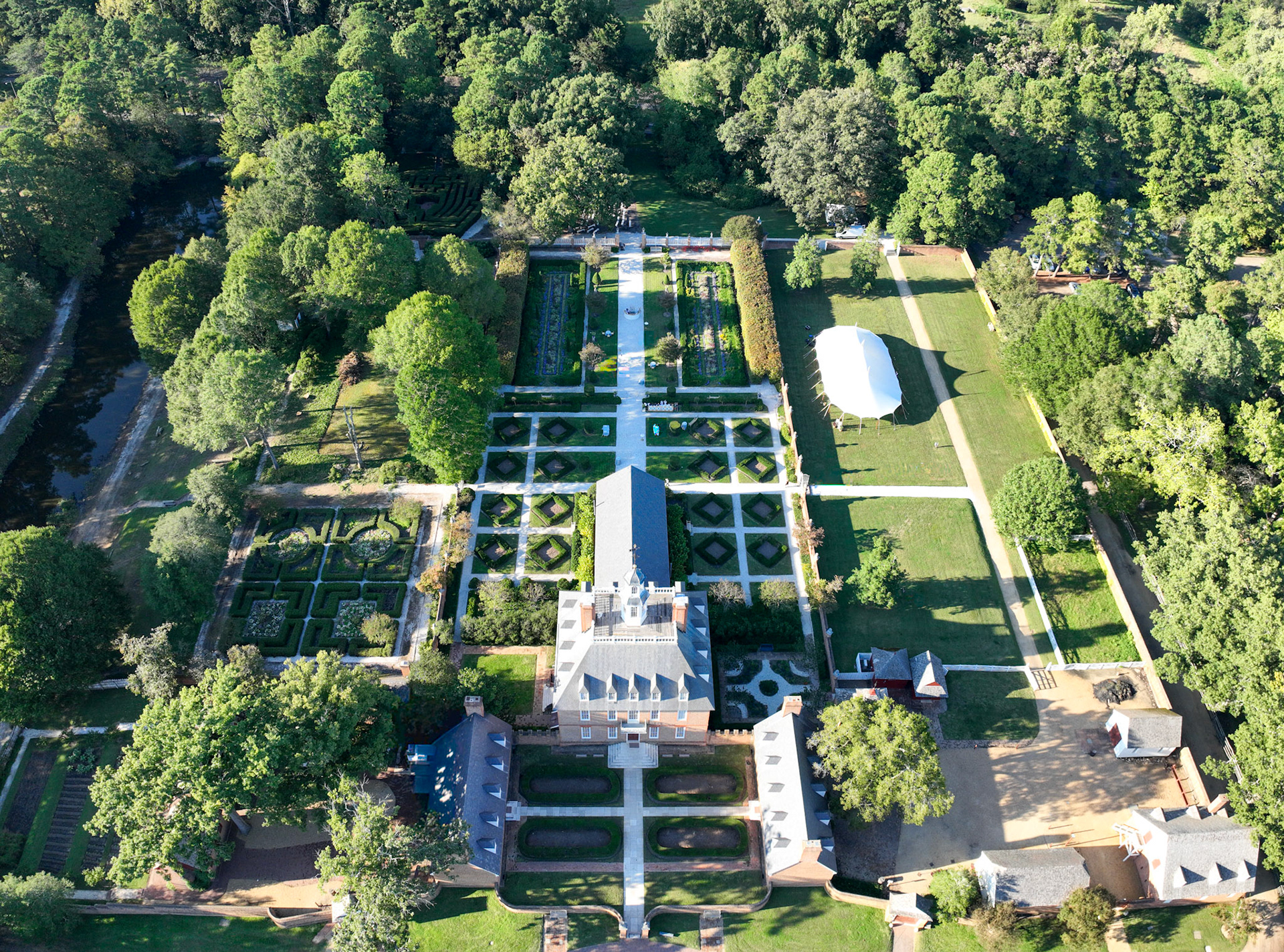
Orthomosiac Photo Imagery and Maps
Please contact for quote. Include number of acres, if a data analysis map is needed, if recurring documentation is needed, or if GIS data should be added (ex. property parcel data). RTK network and ground control points provide centimeter level geographic accuracy.
Up to 70 acres: Please contact for a quote.
Over 70 acres: Request a quote.
GIS data set add-on: Request a quote.
Orthomosiac Photo analysis available: Elevation, Plant Health, Volumetric, 3-D imaging, Point Cloud
Aerial Photography
Aerial Photography (6 Photos): Please contact for a quote.
(12 Photos): Please contact for a quote.
Aerial Videography (5 Videos): Please contact for a quote.
Roof Inspection: Please contact for a quote.
Aerial Photography and Videography (20 Photos and 2 Videos): Please contact for a quote.
Thermal Images
Solar Panel Inspection
Roof Inspection
Message or call for quote.