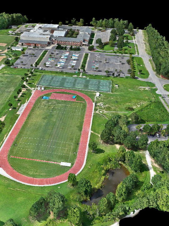
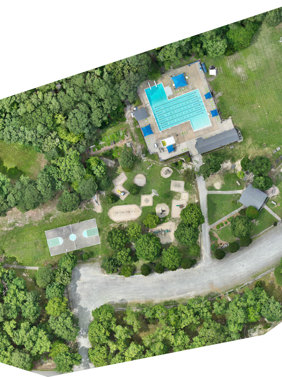
Construction Documentation and Reality Capture Package includes an orthomosiac photo map, 360 degree panoramic points of interest, perimeter photo or point of interest video of your site. All documentation is provided with an easily sharable link to DroneDeploy so all stake holders can have access to the reality captures.
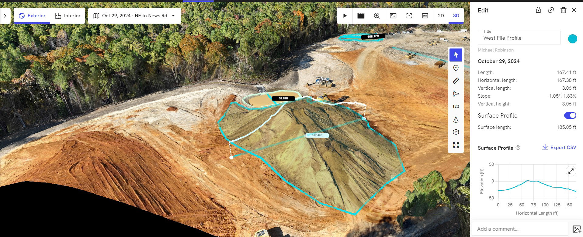
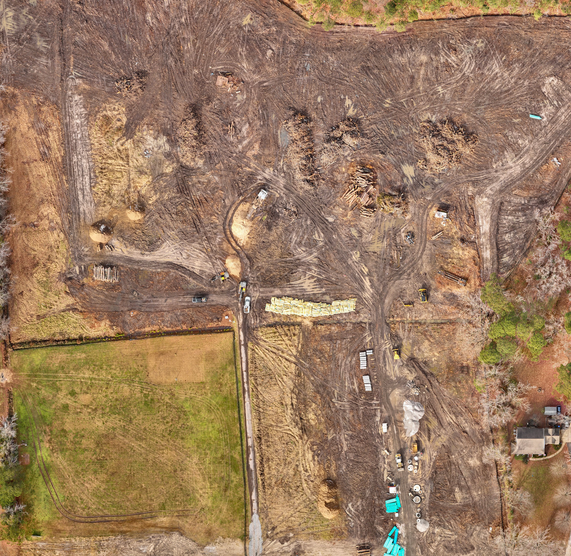
Construction maps can be provided as Geo TIFF Map, JPG Map, or pdf formats. Analysis can include elevation, elevation contours (.shp file), elevation DEM, 3-D rendering, point cloud (.las file), distance, area, surface profile, and volumetric analysis. Resolution up to 0.59/in. Centimeter level geographic positioning accuracy achieved through DJI RTK module and a RTK network using ground control points.
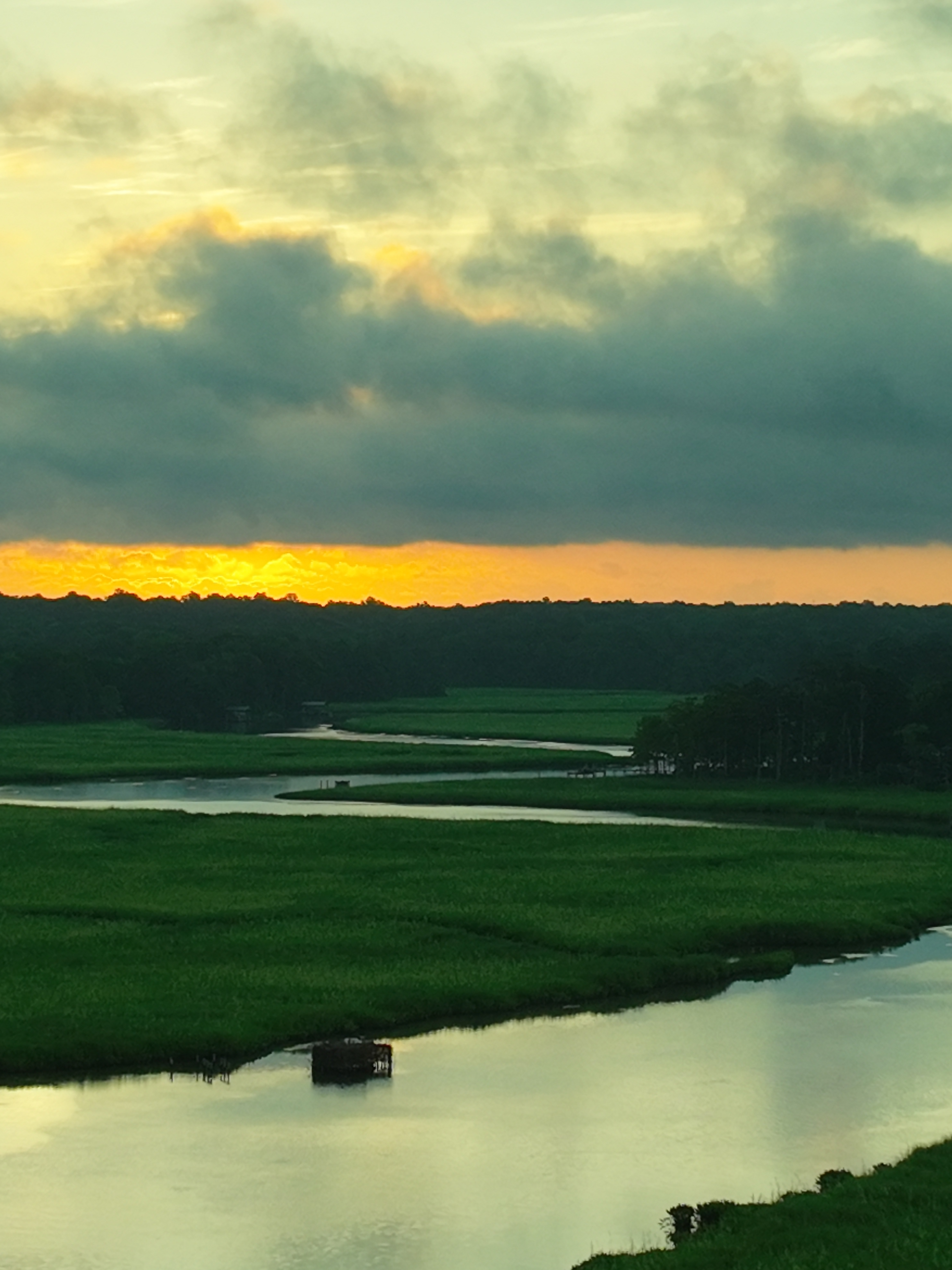
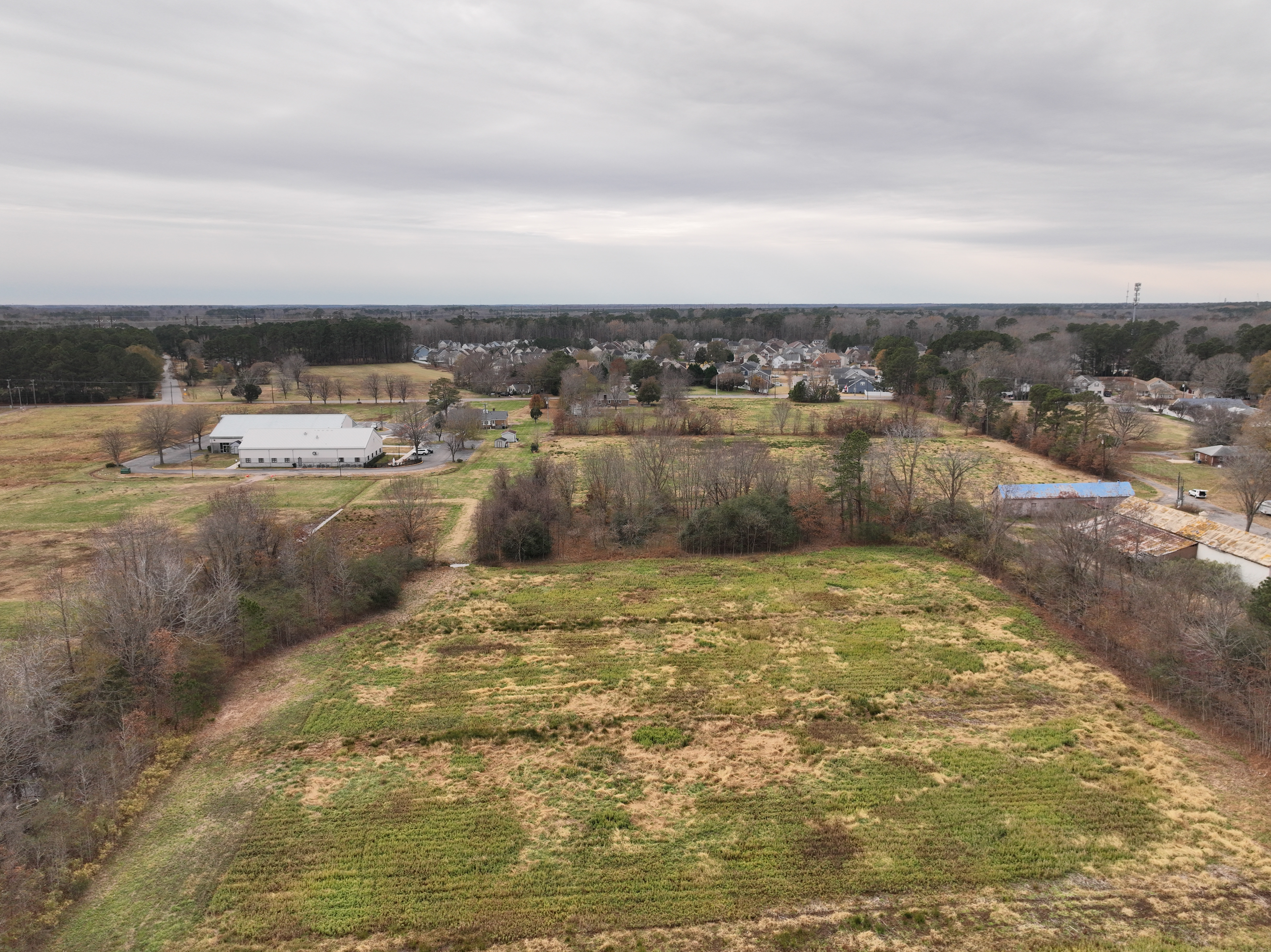
Perimeter Photo Series
Perimeter Photo Series
Perimeter Photo Series
Perimeter Photo Series
Perimeter Photo Series
Perimeter Photo Series
Perimeter Photo Series
Perimeter Photo Series
Perimeter Photo Series
Perimeter Photo Series
Perimeter Photo Series
Perimeter Photo Series
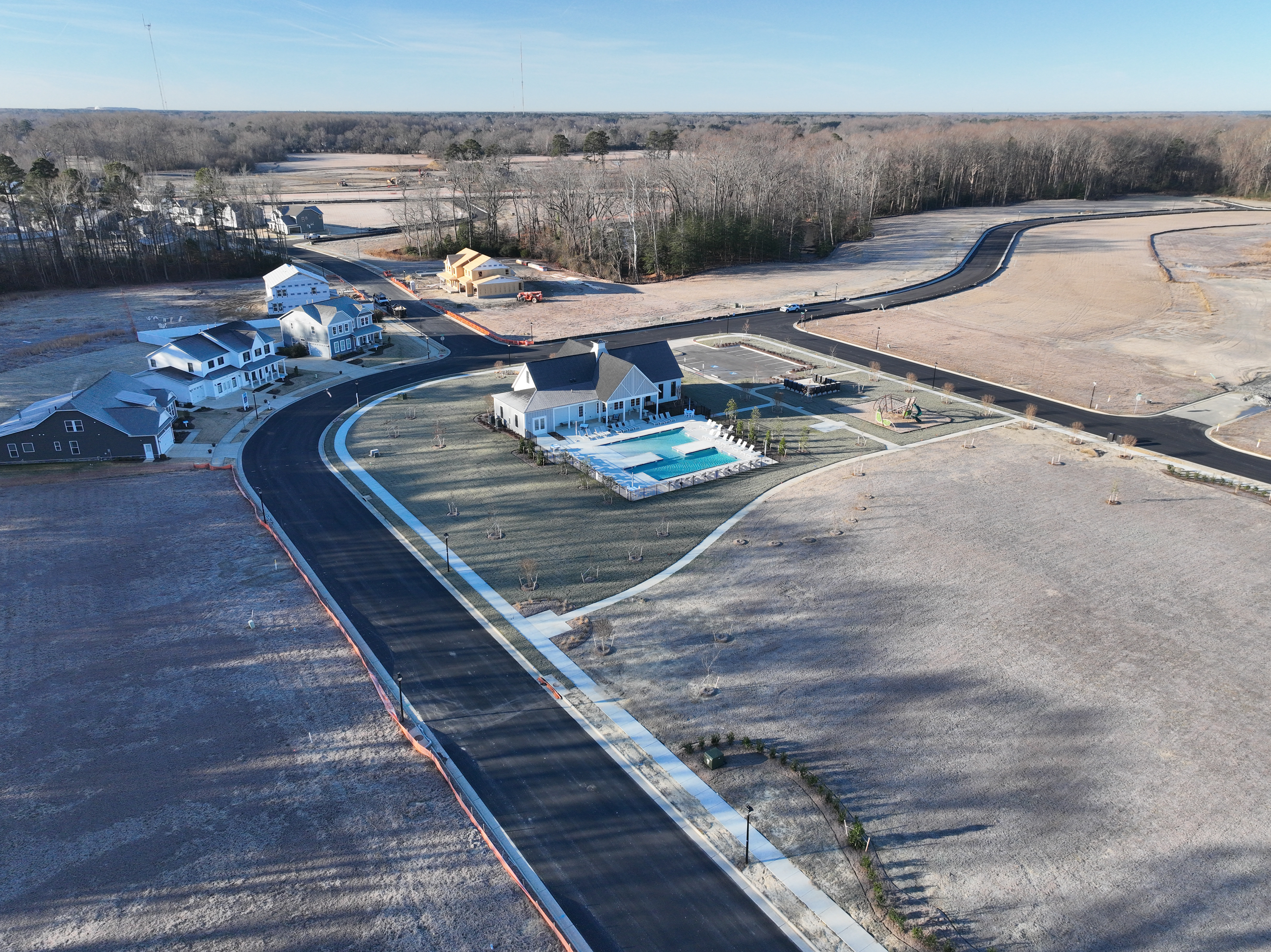
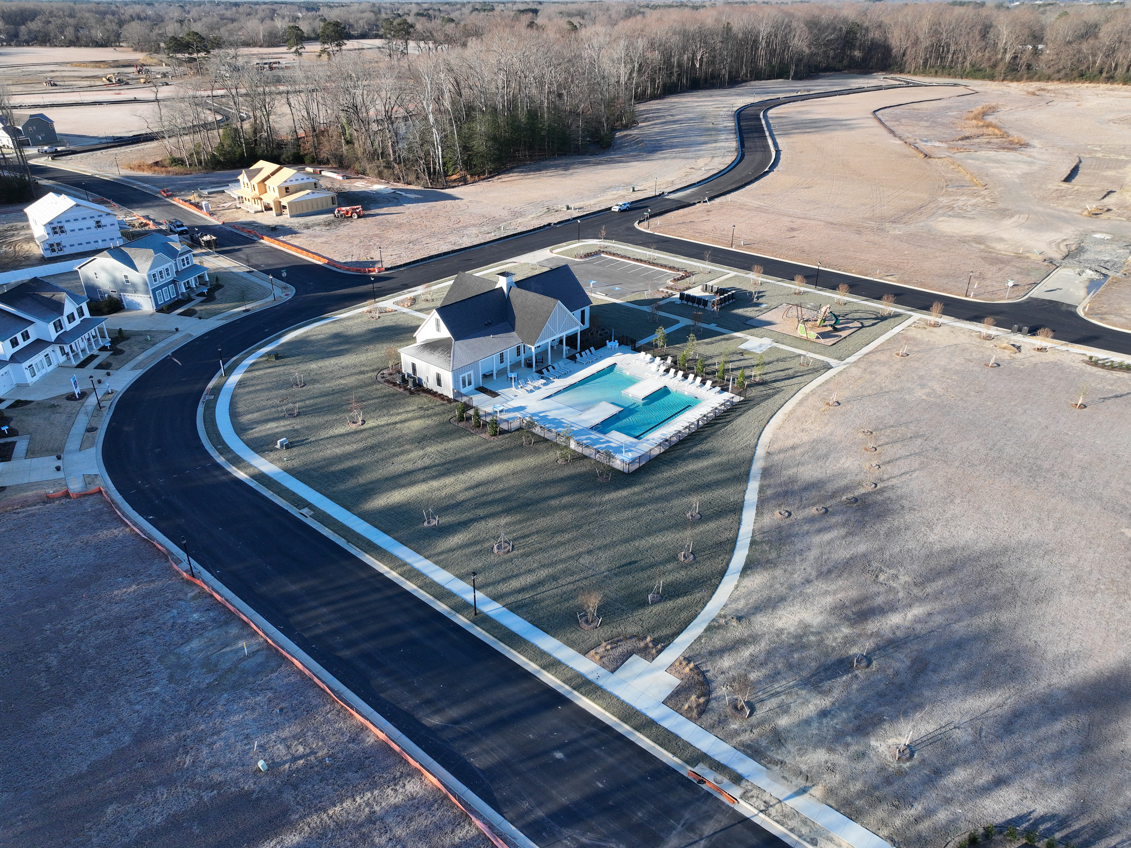
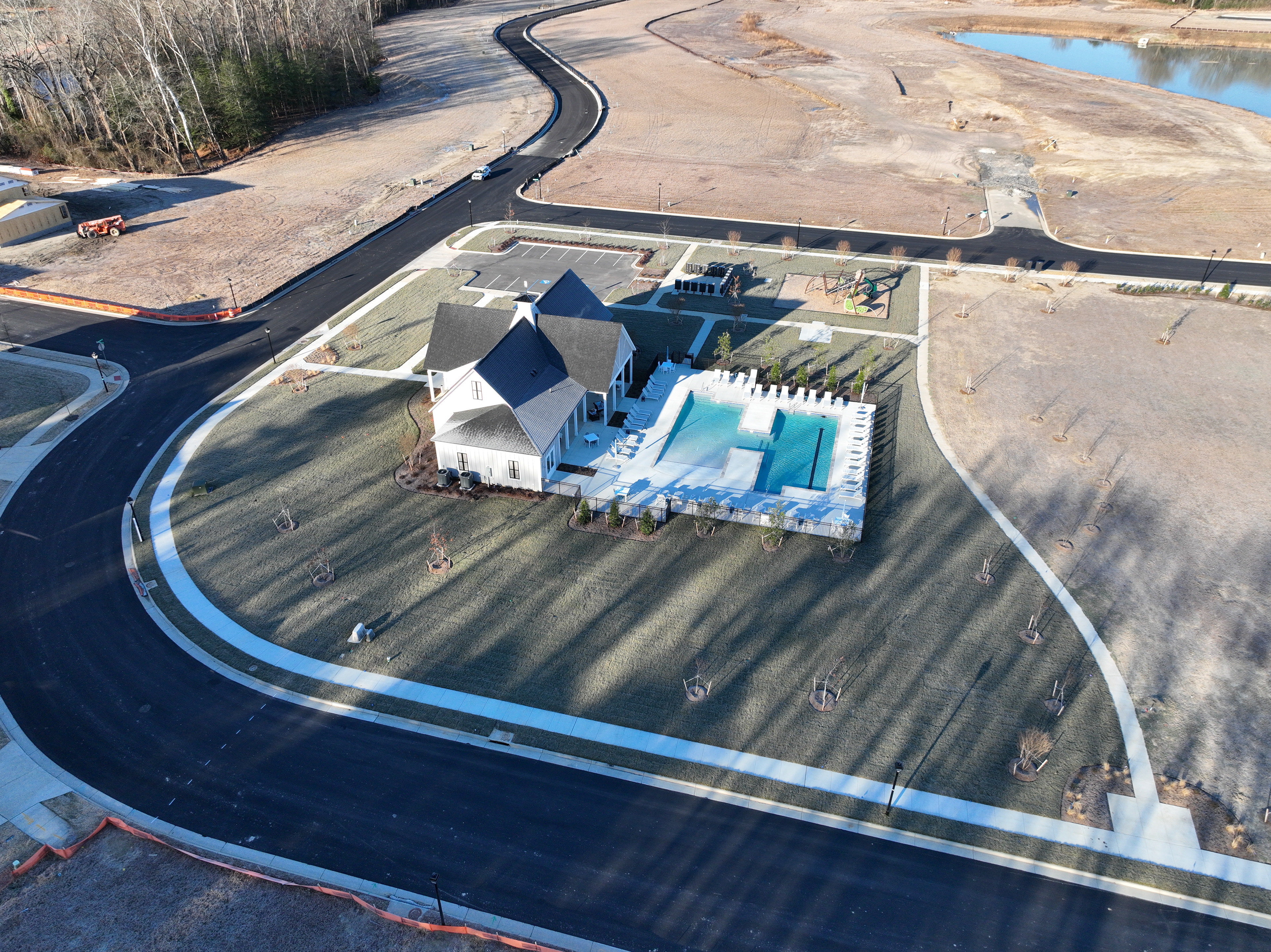
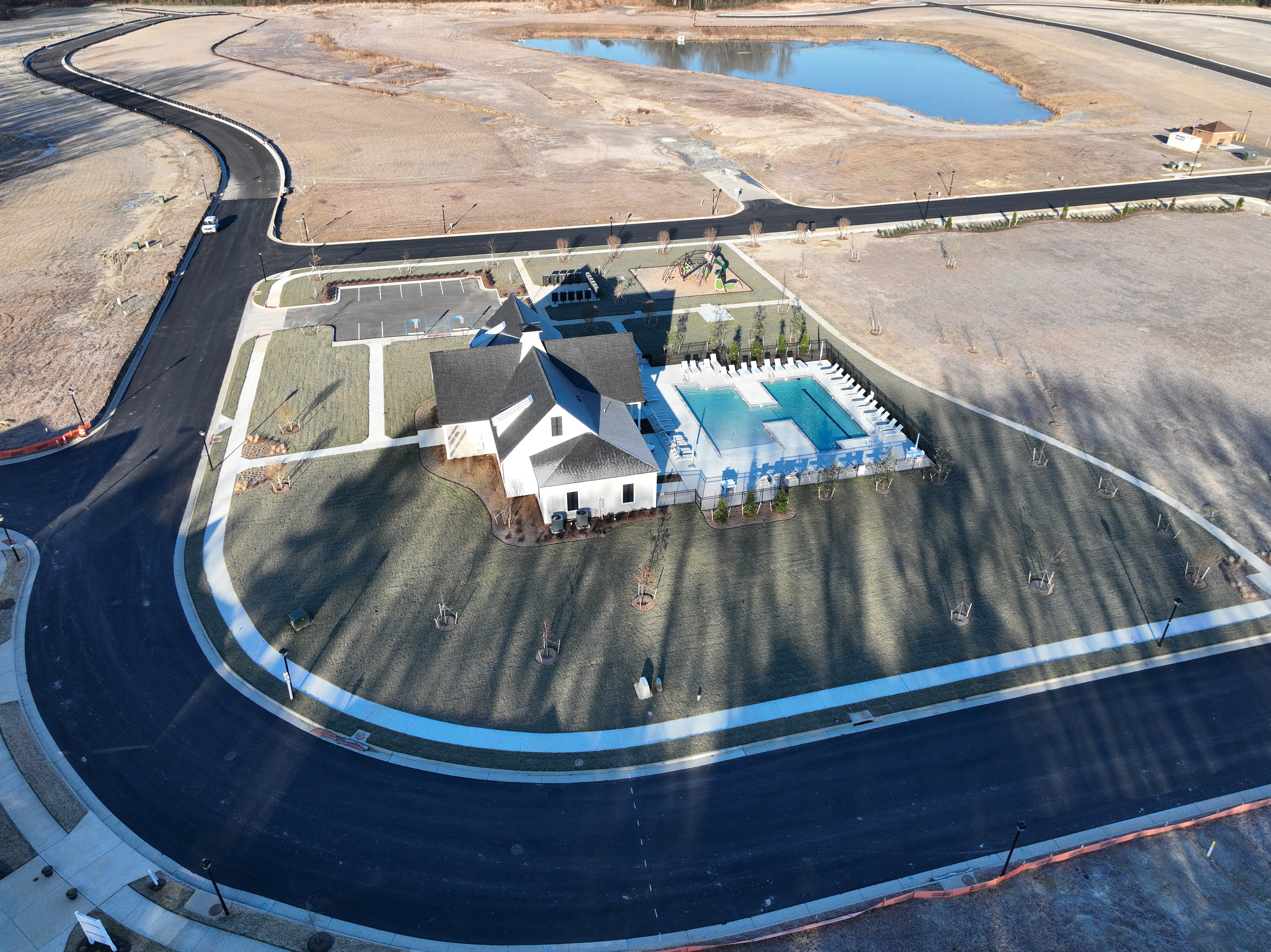
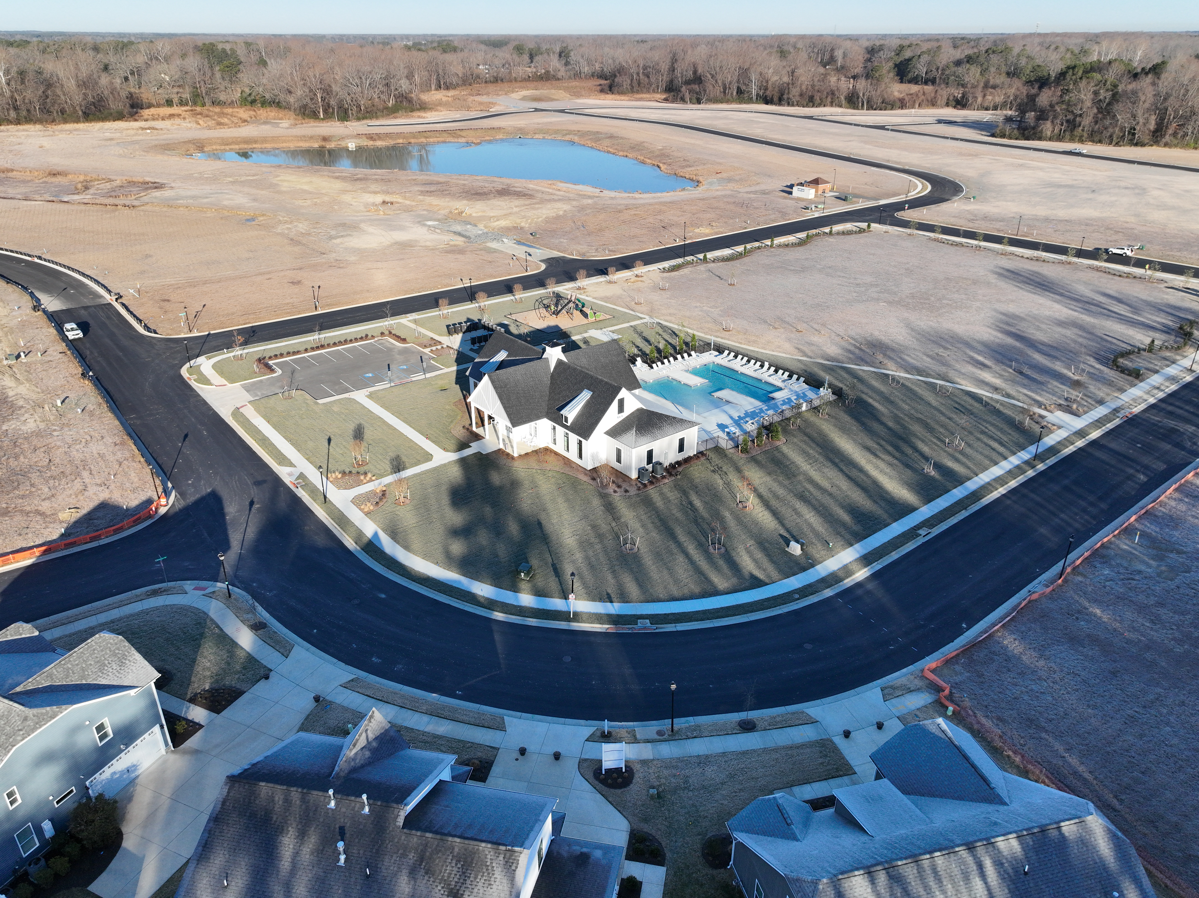
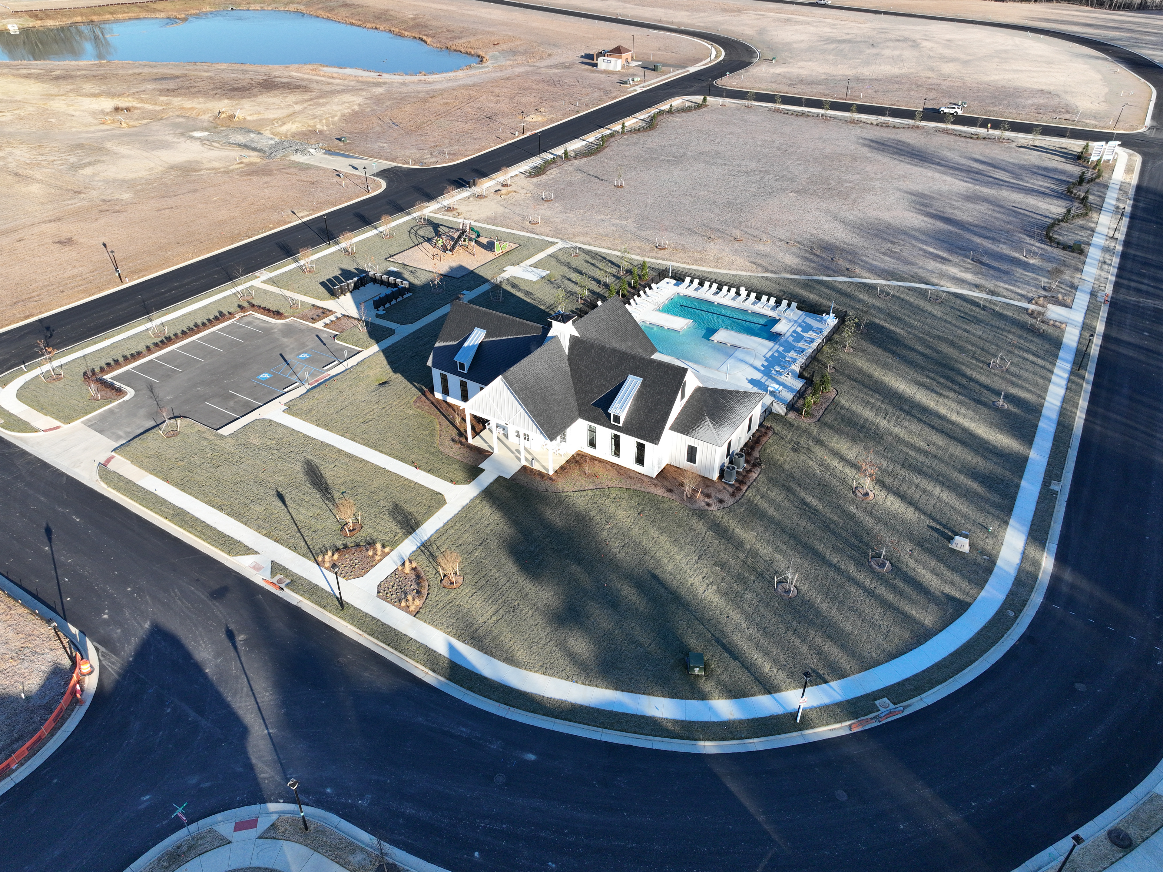
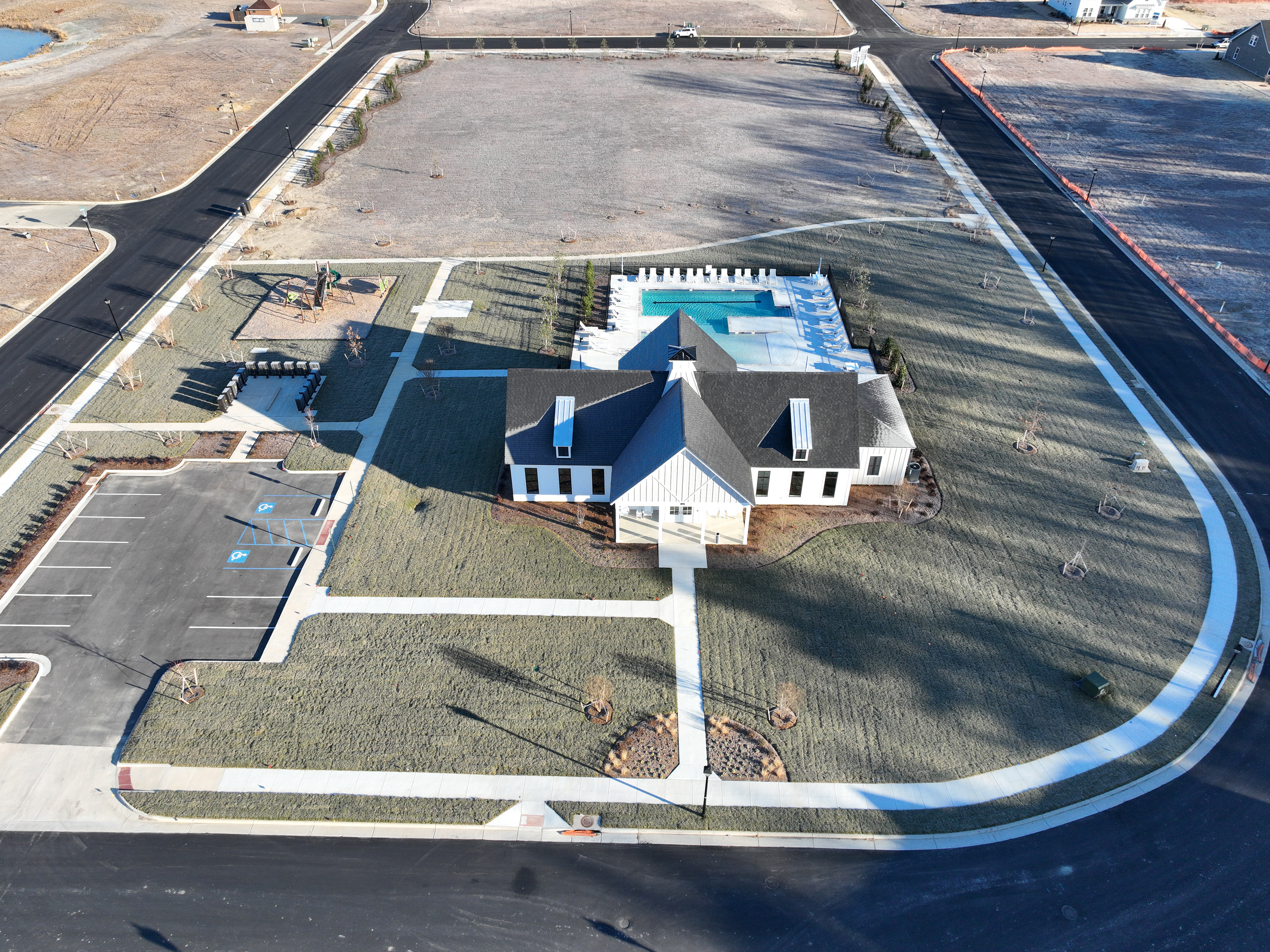
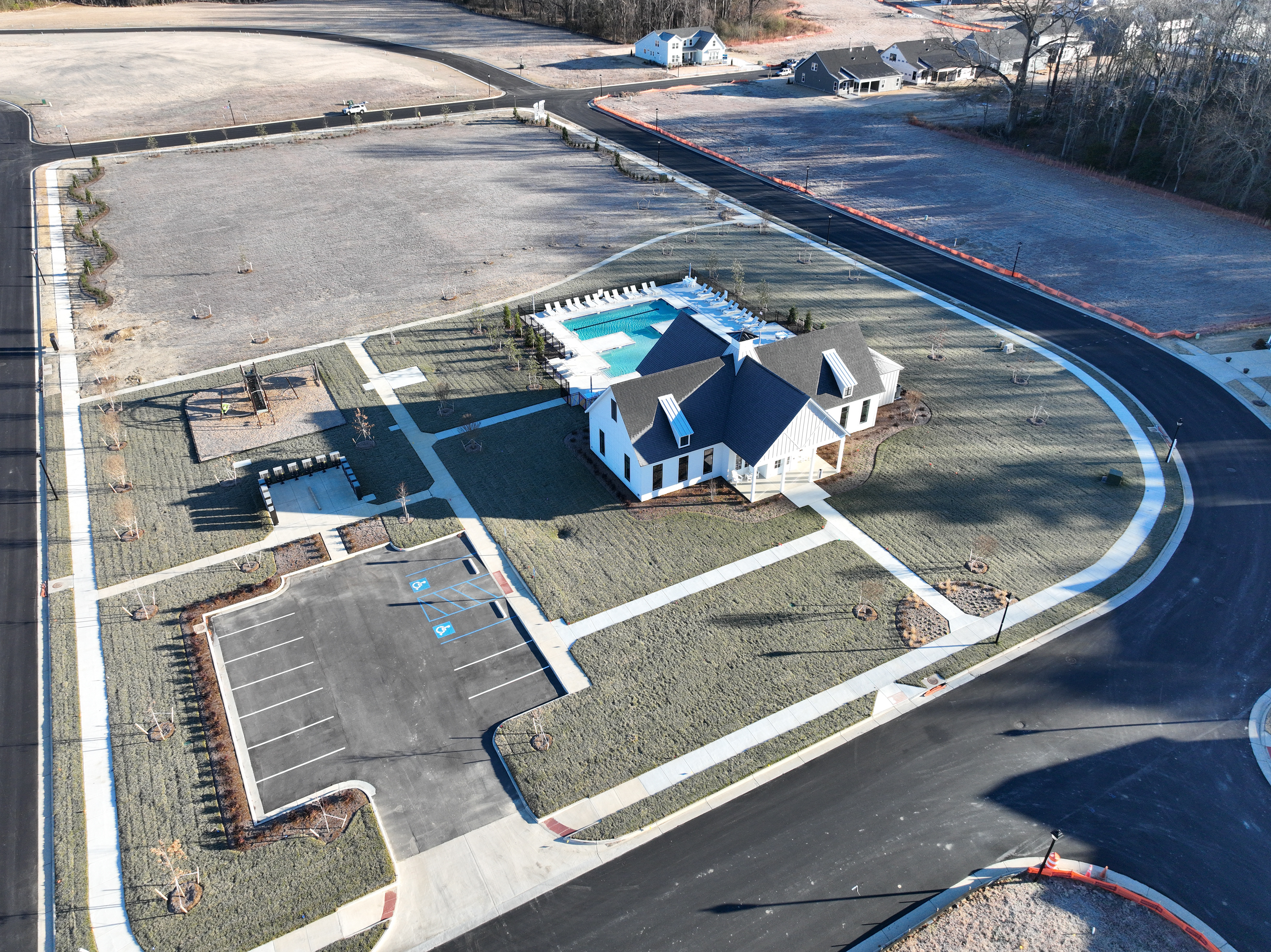
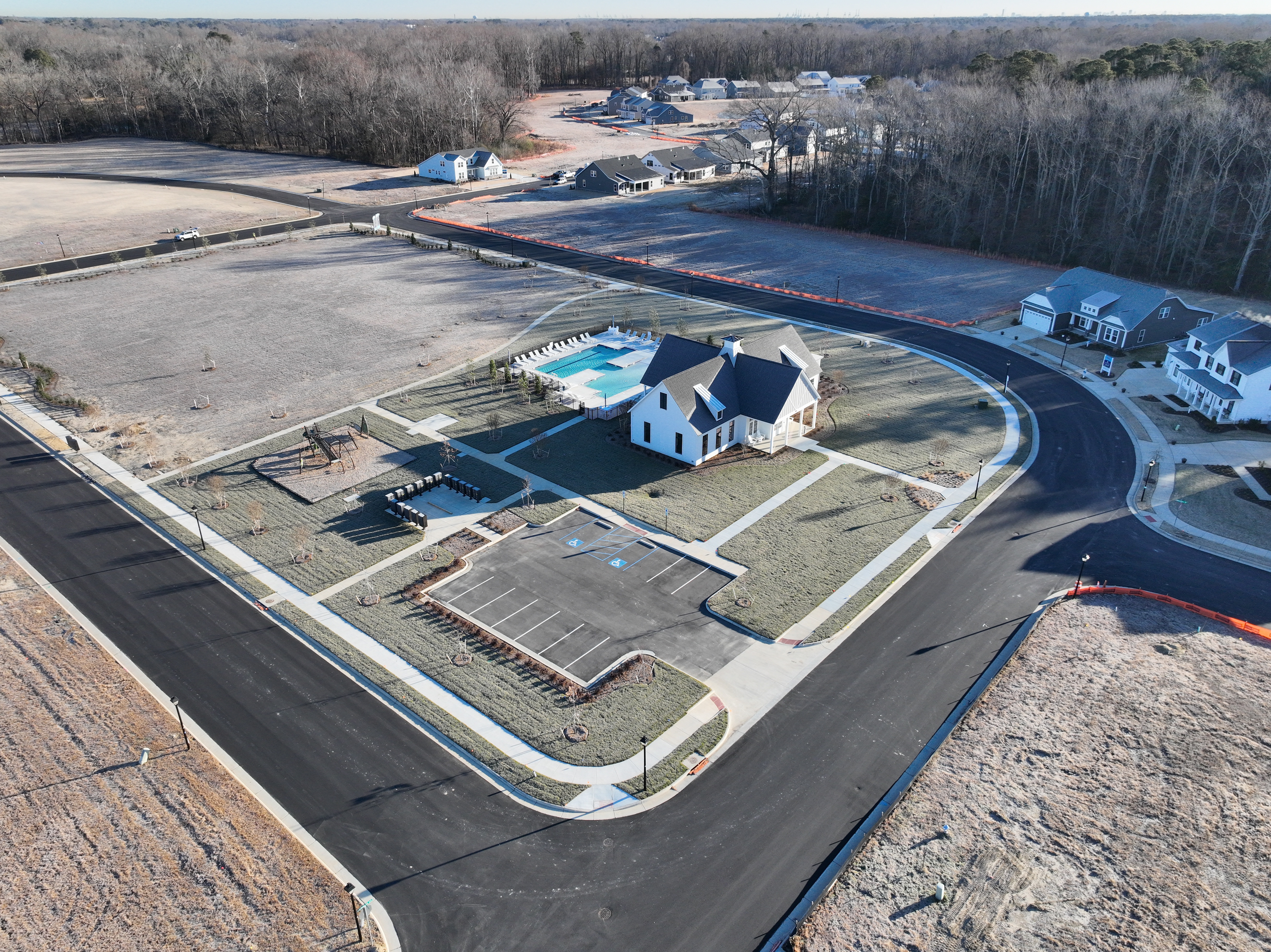
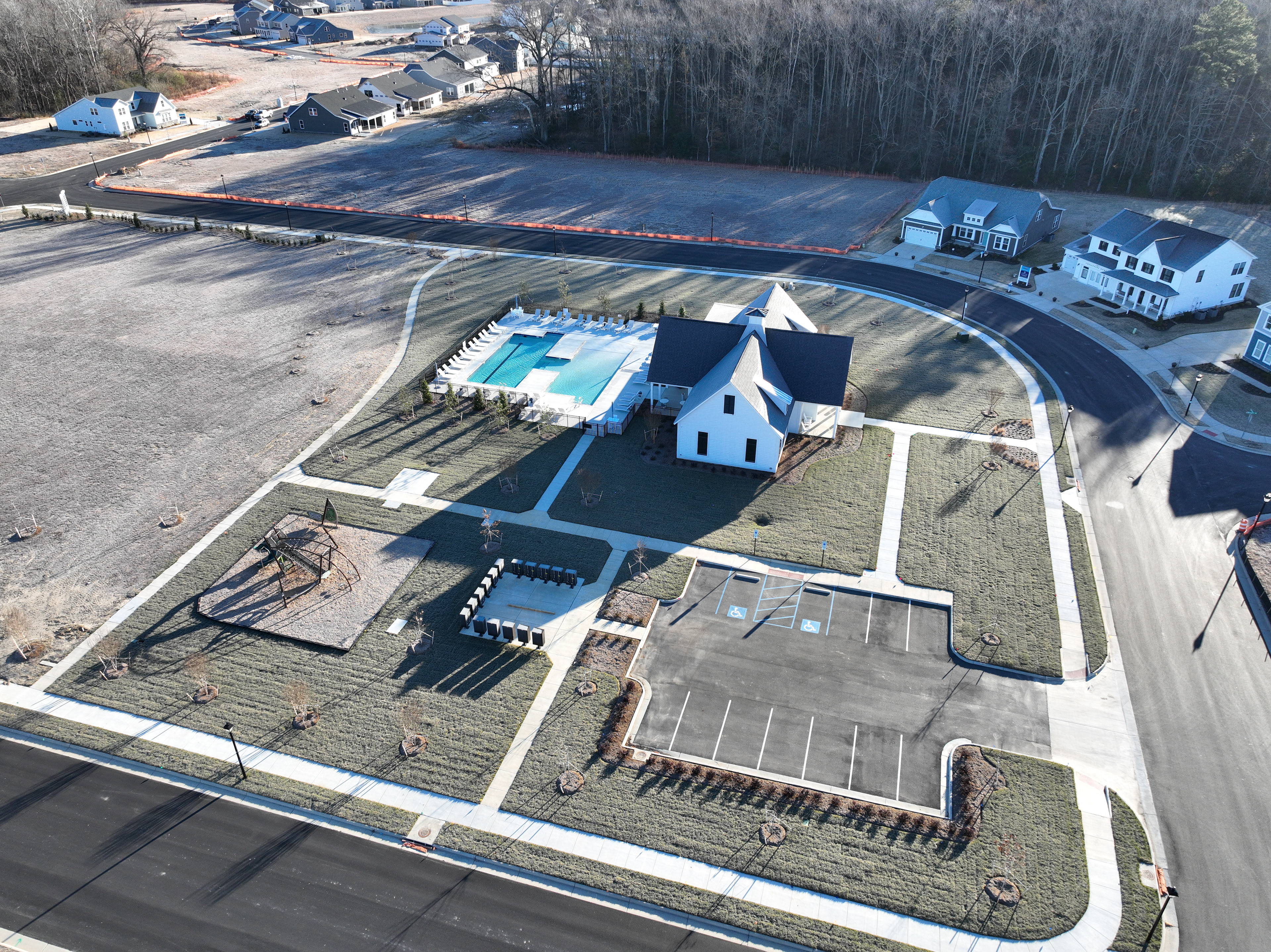
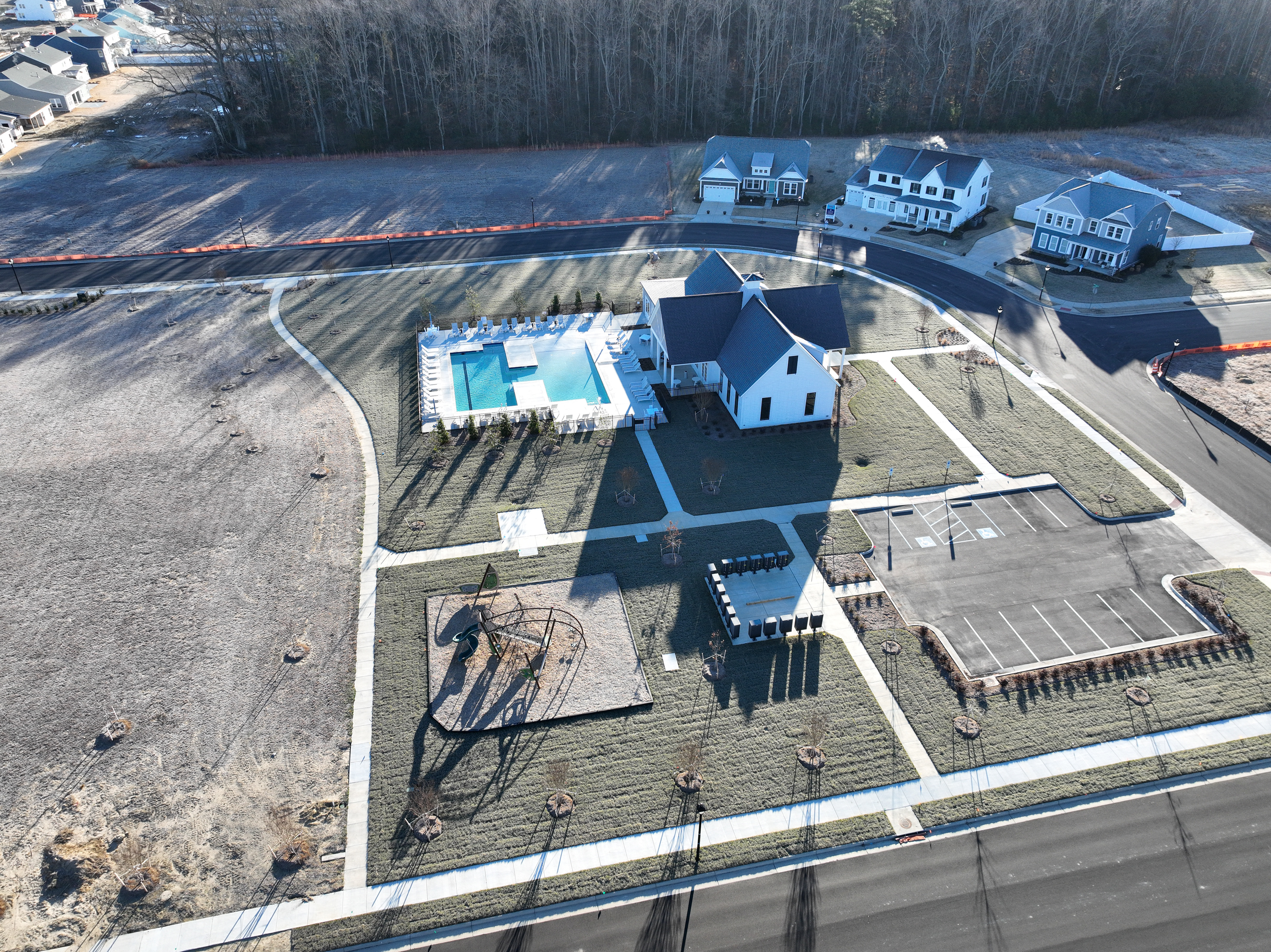
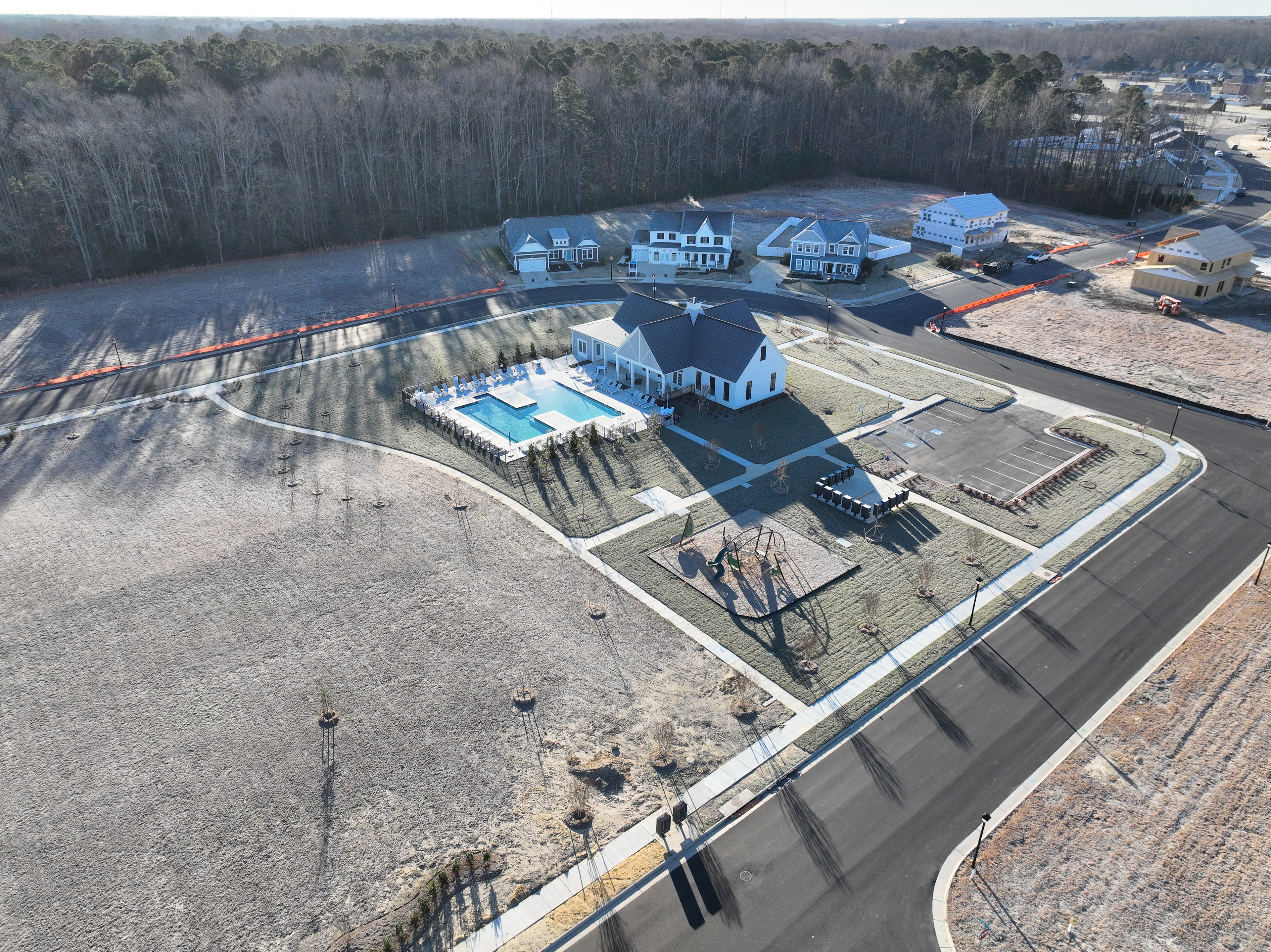
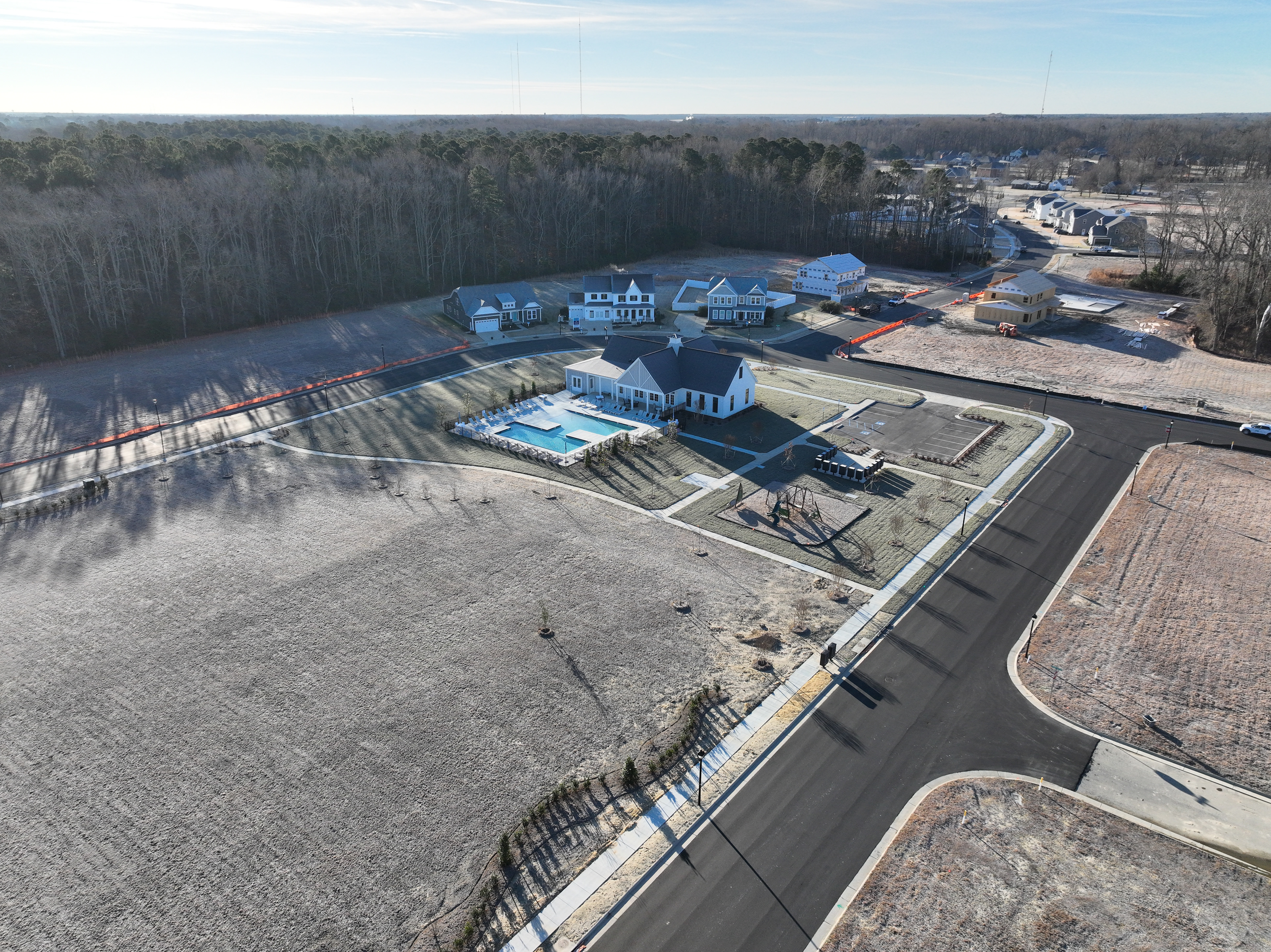
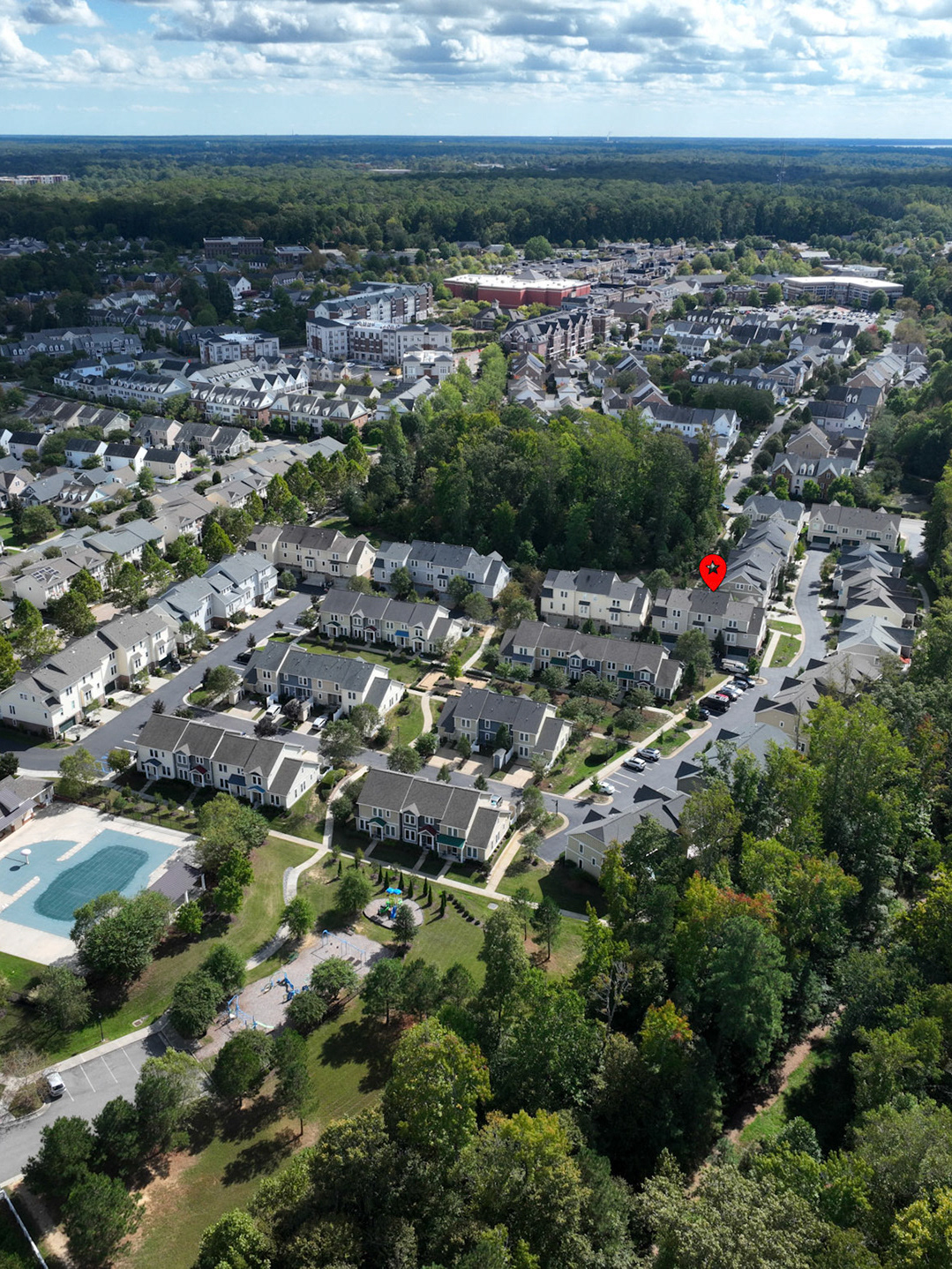
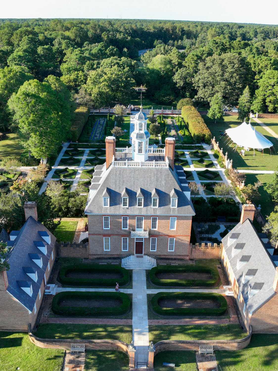
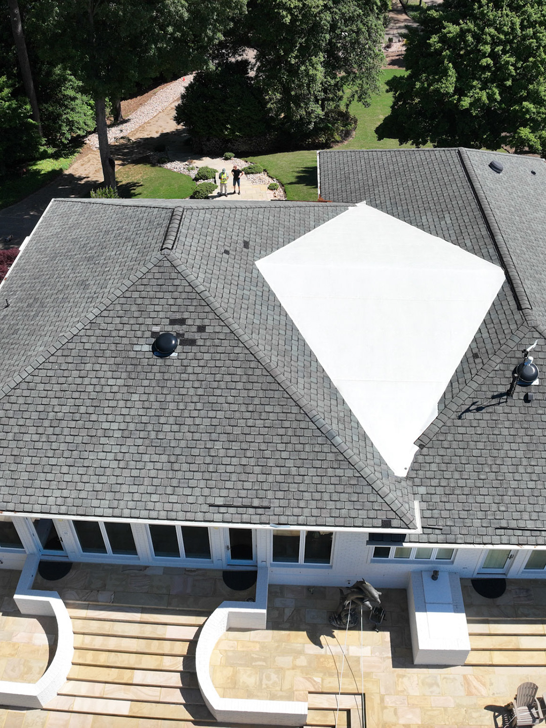
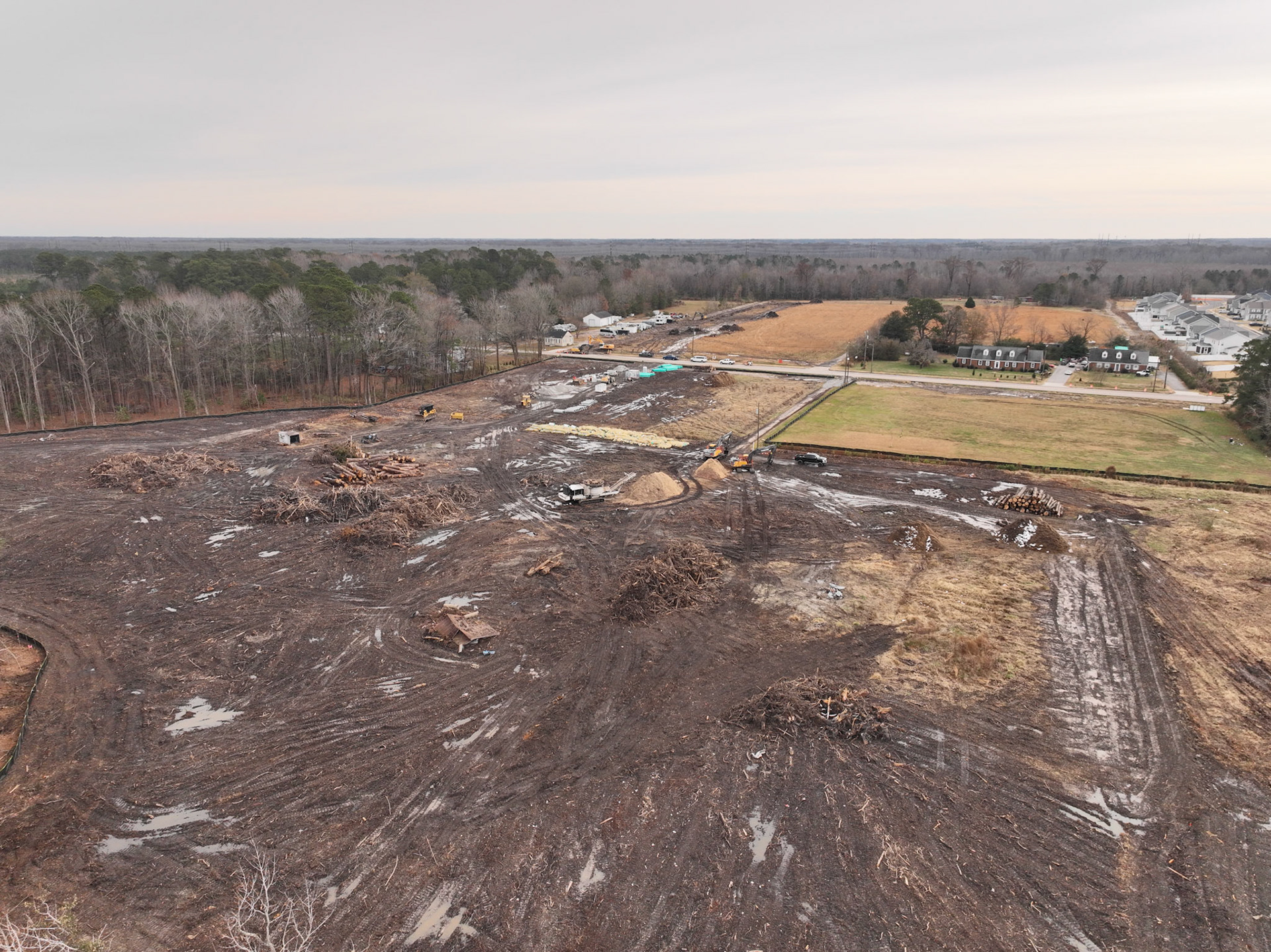
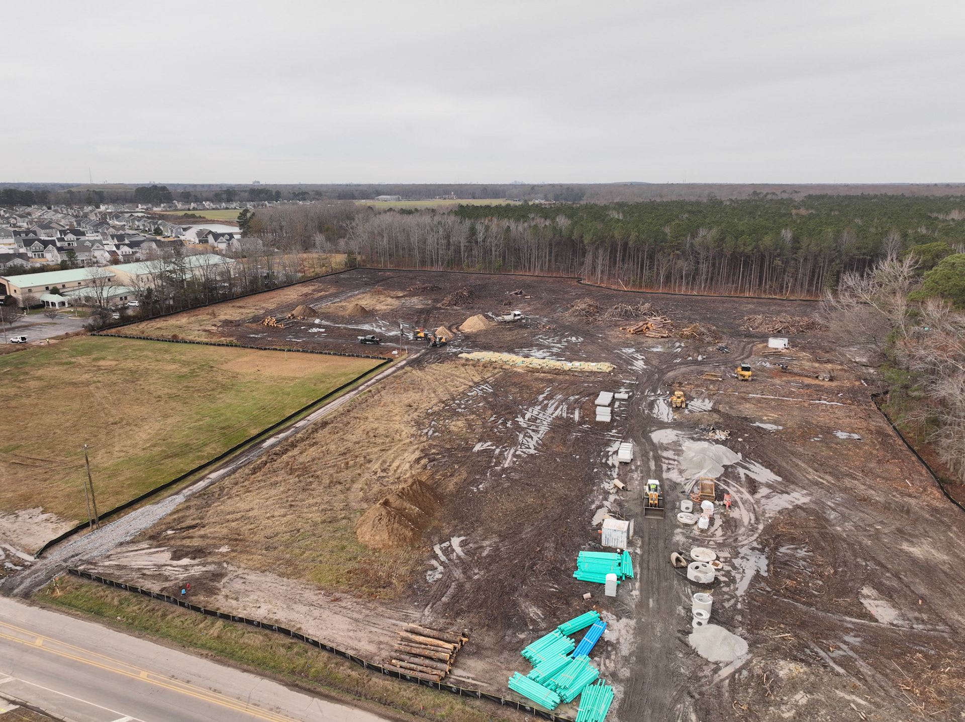
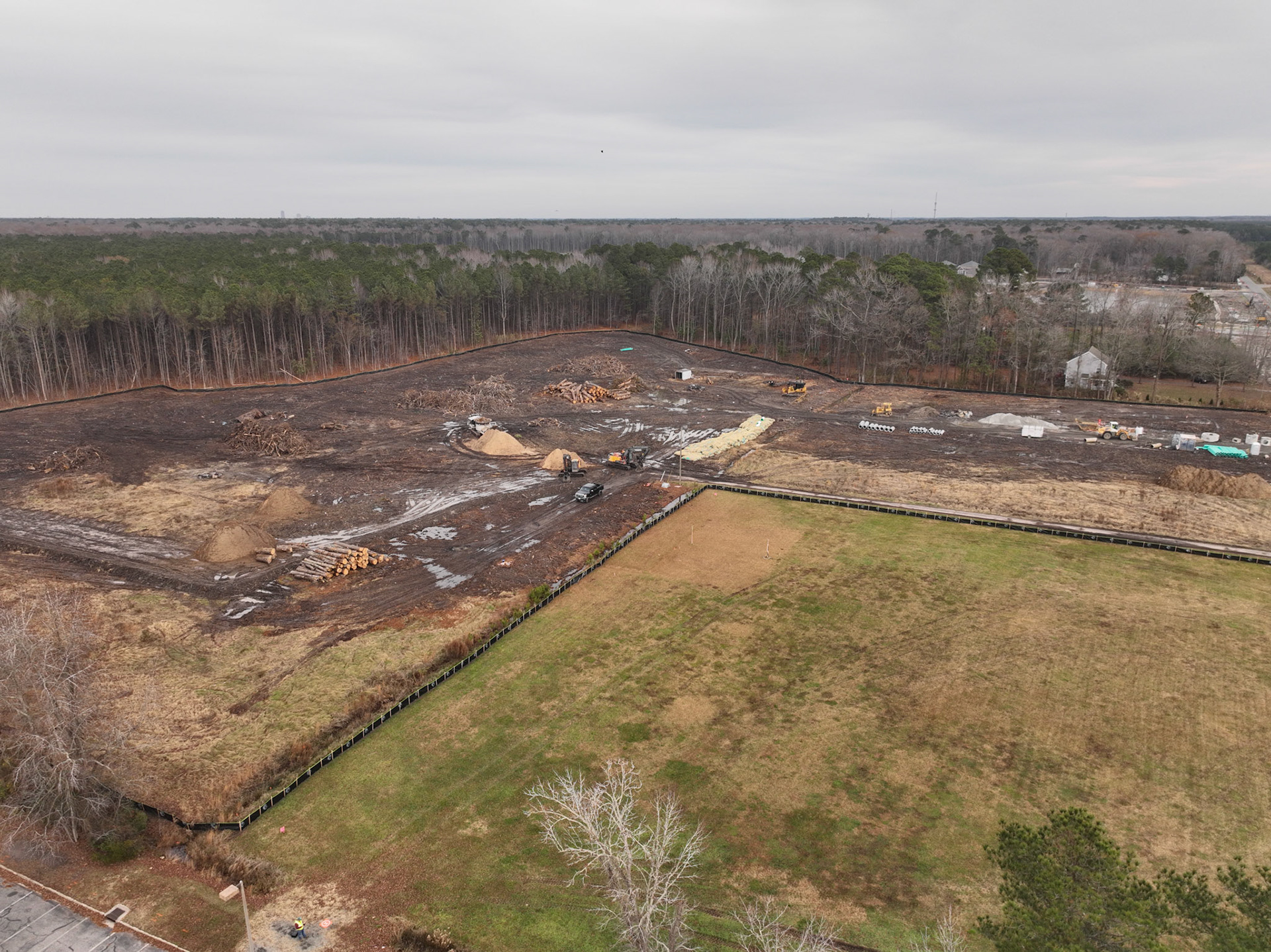
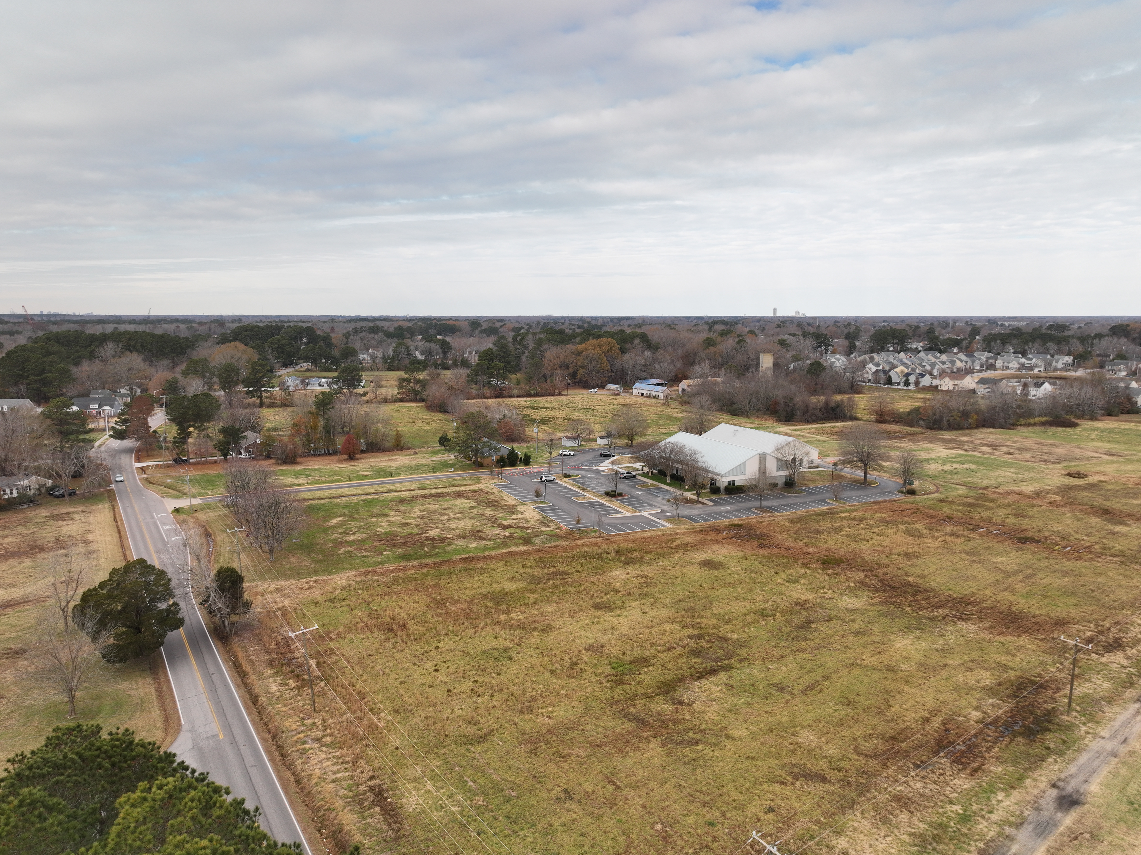
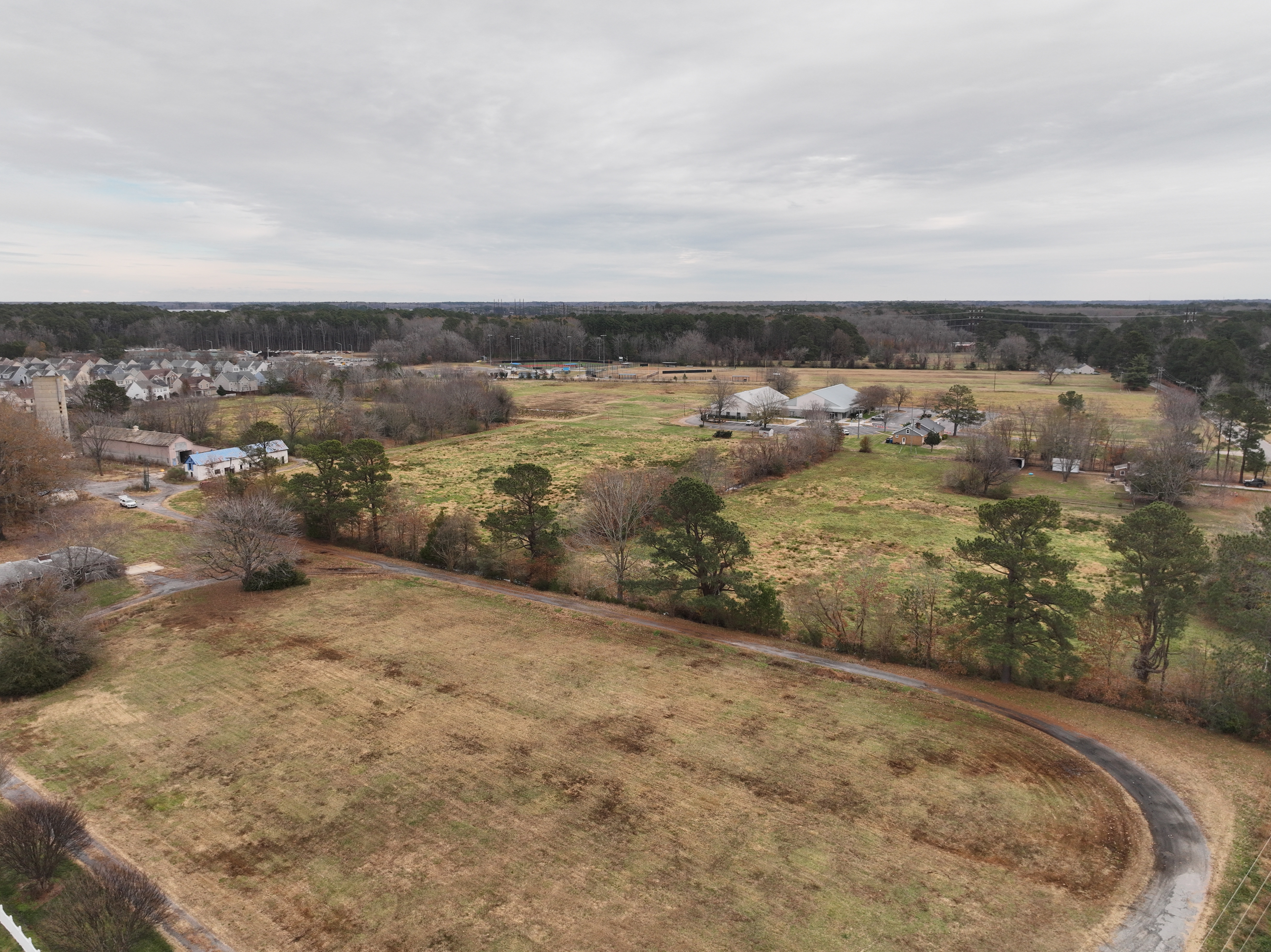
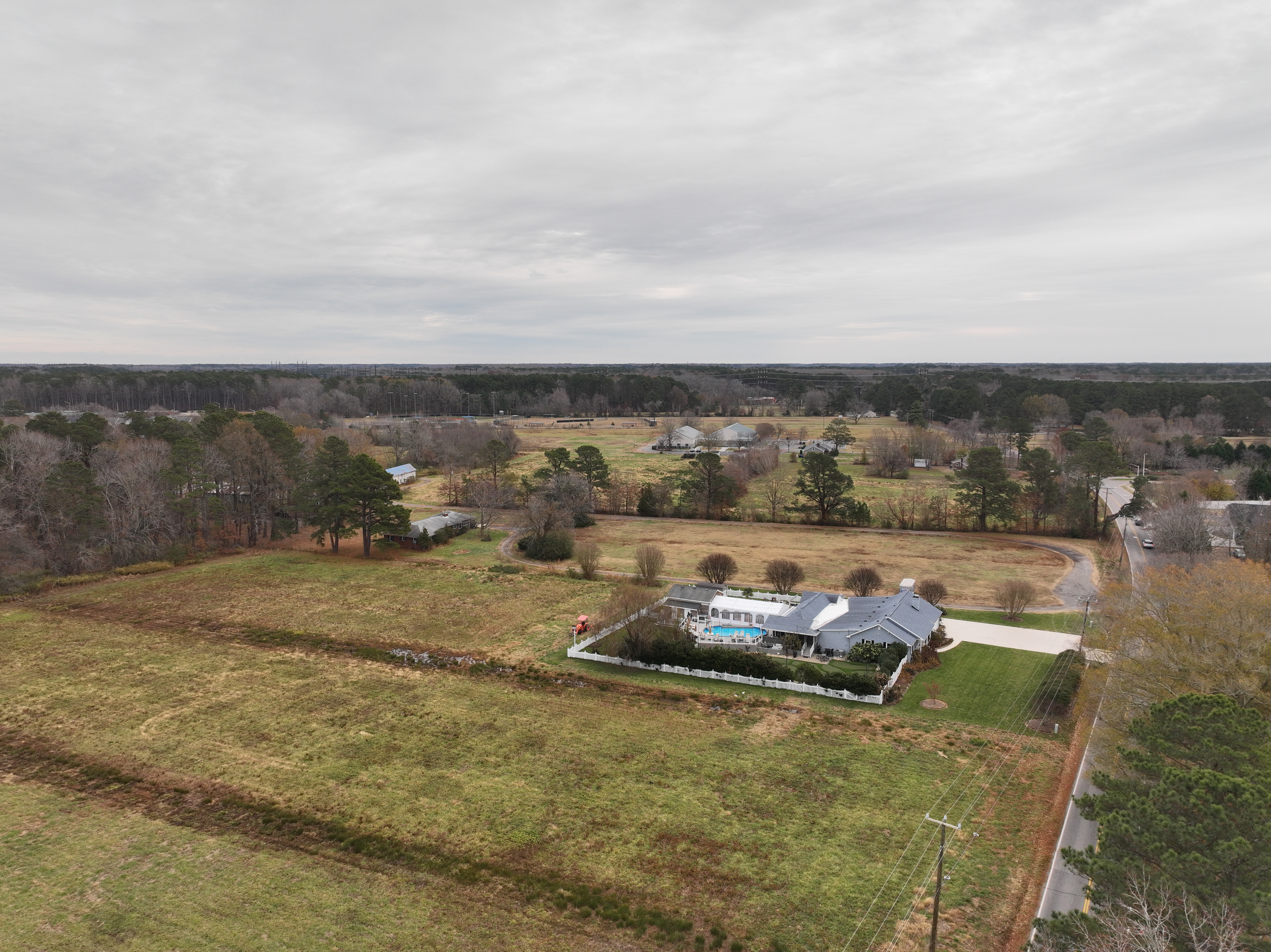
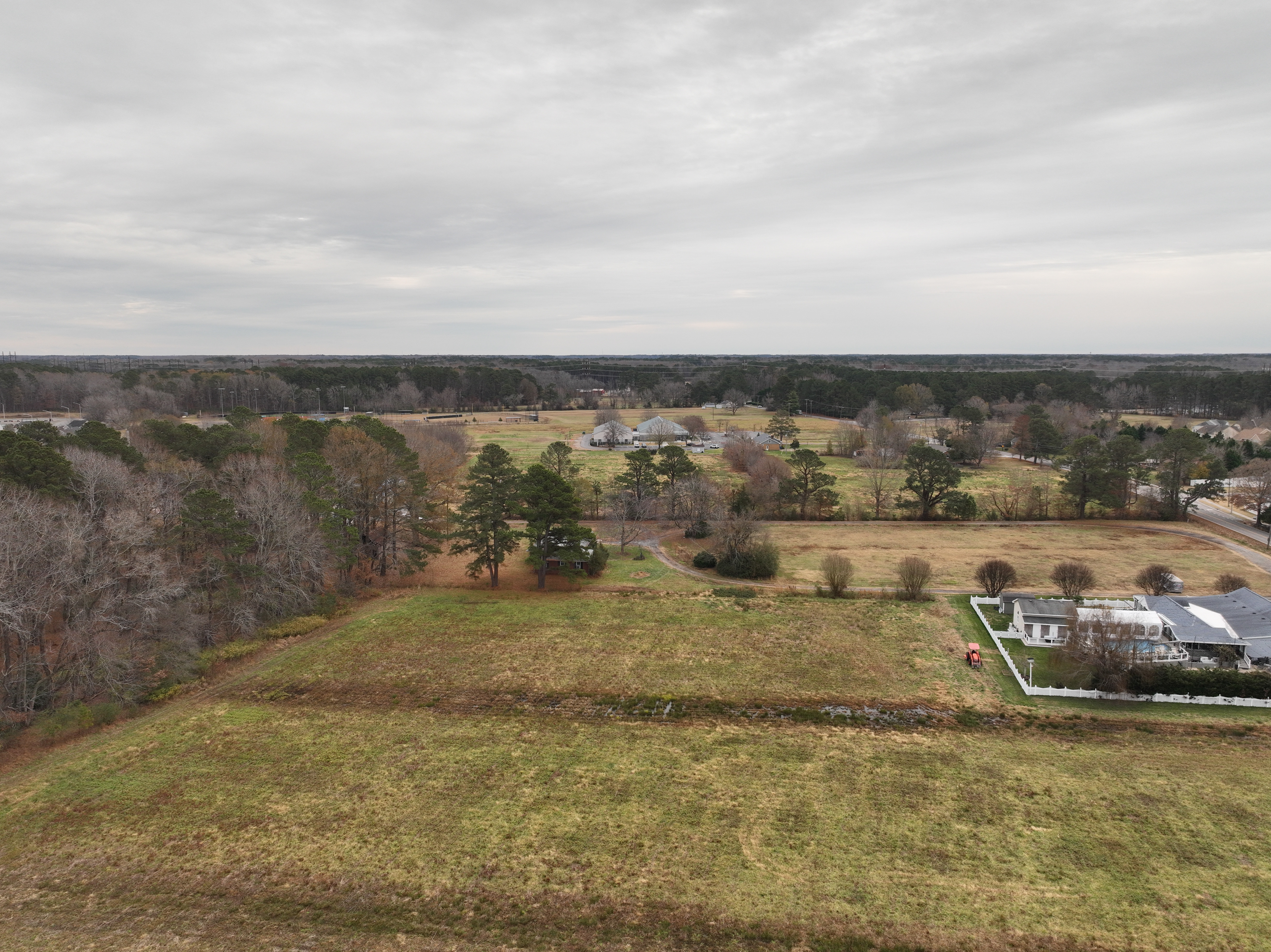
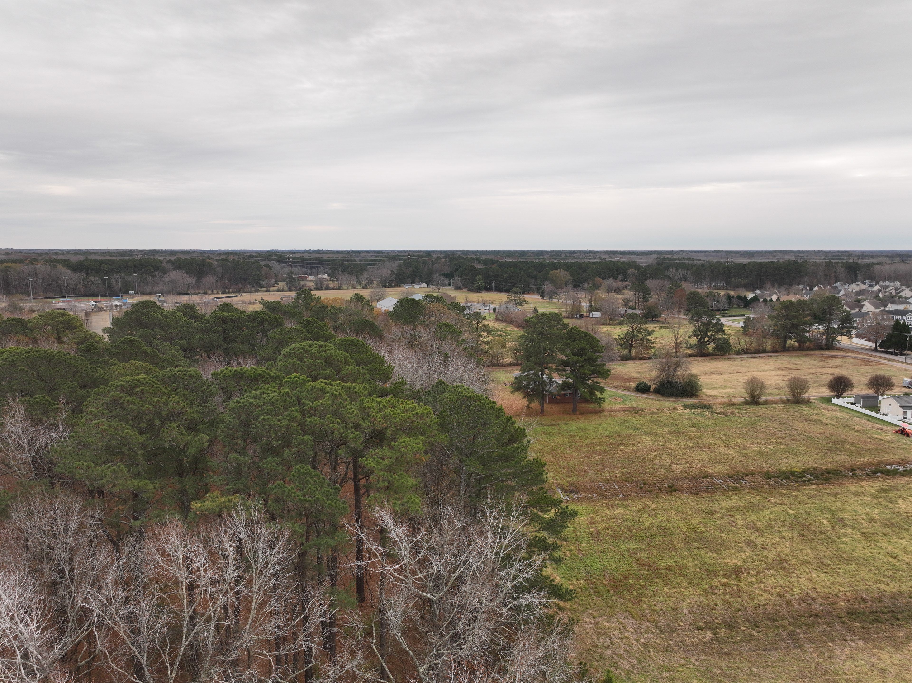
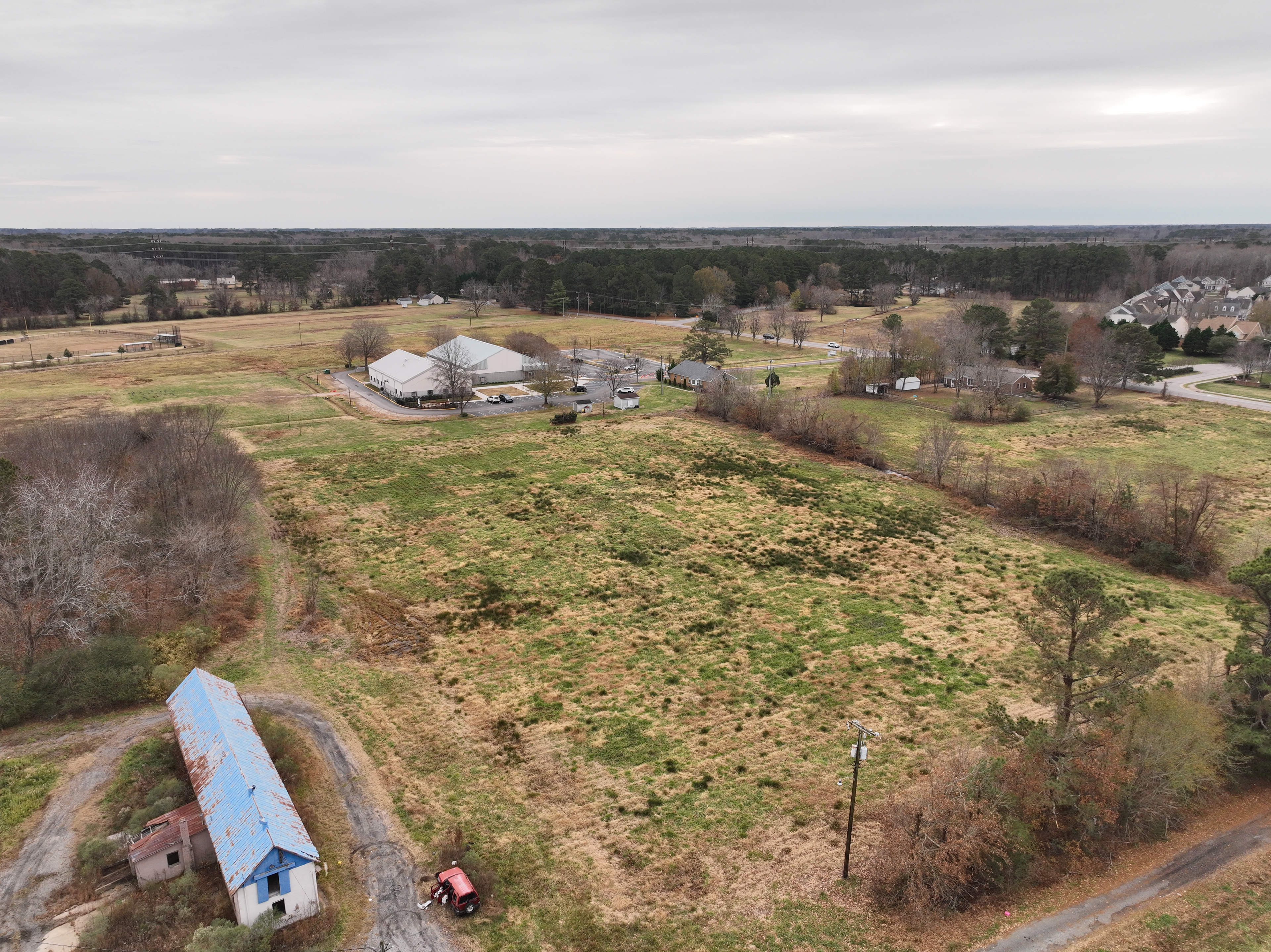
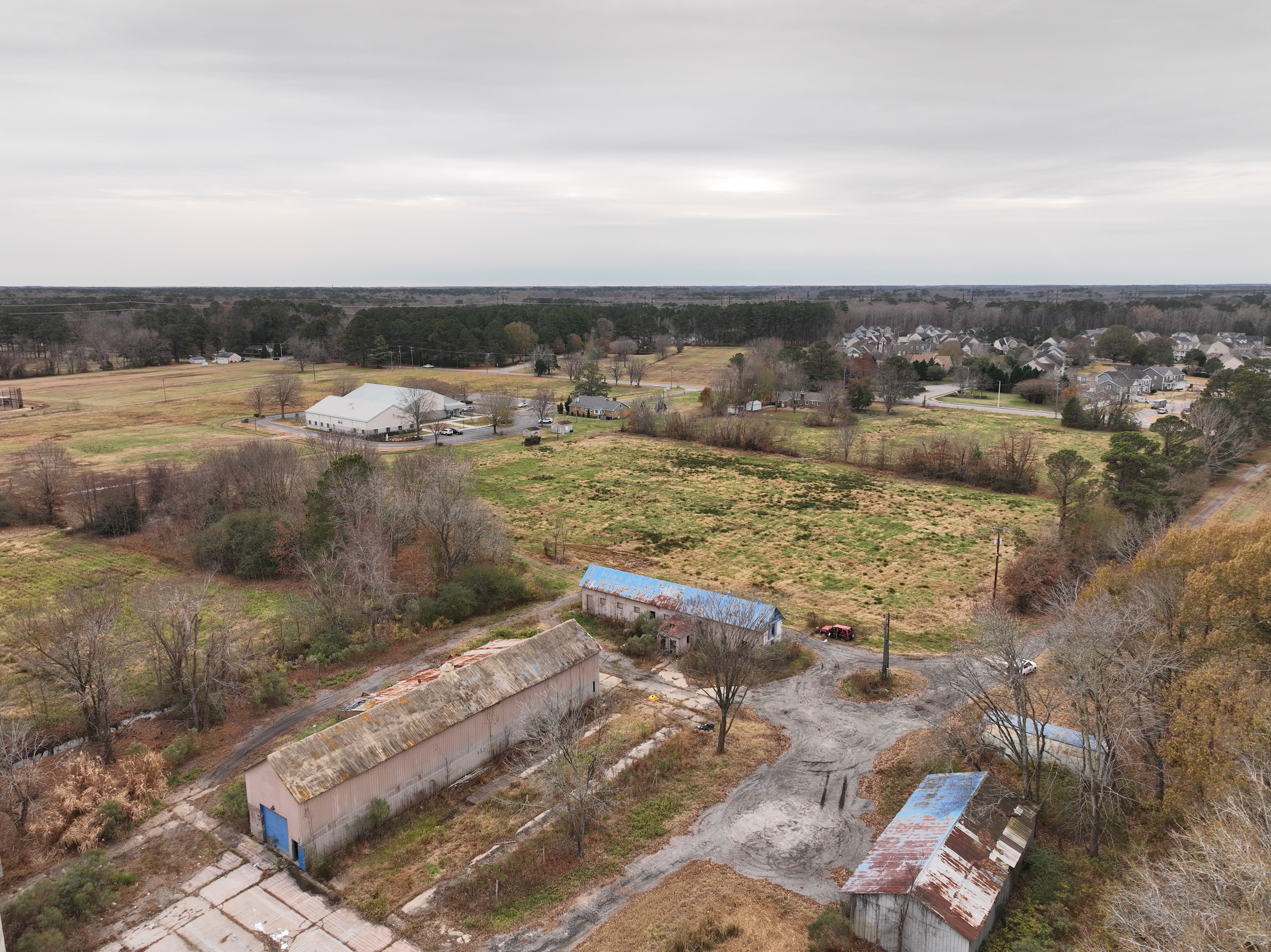
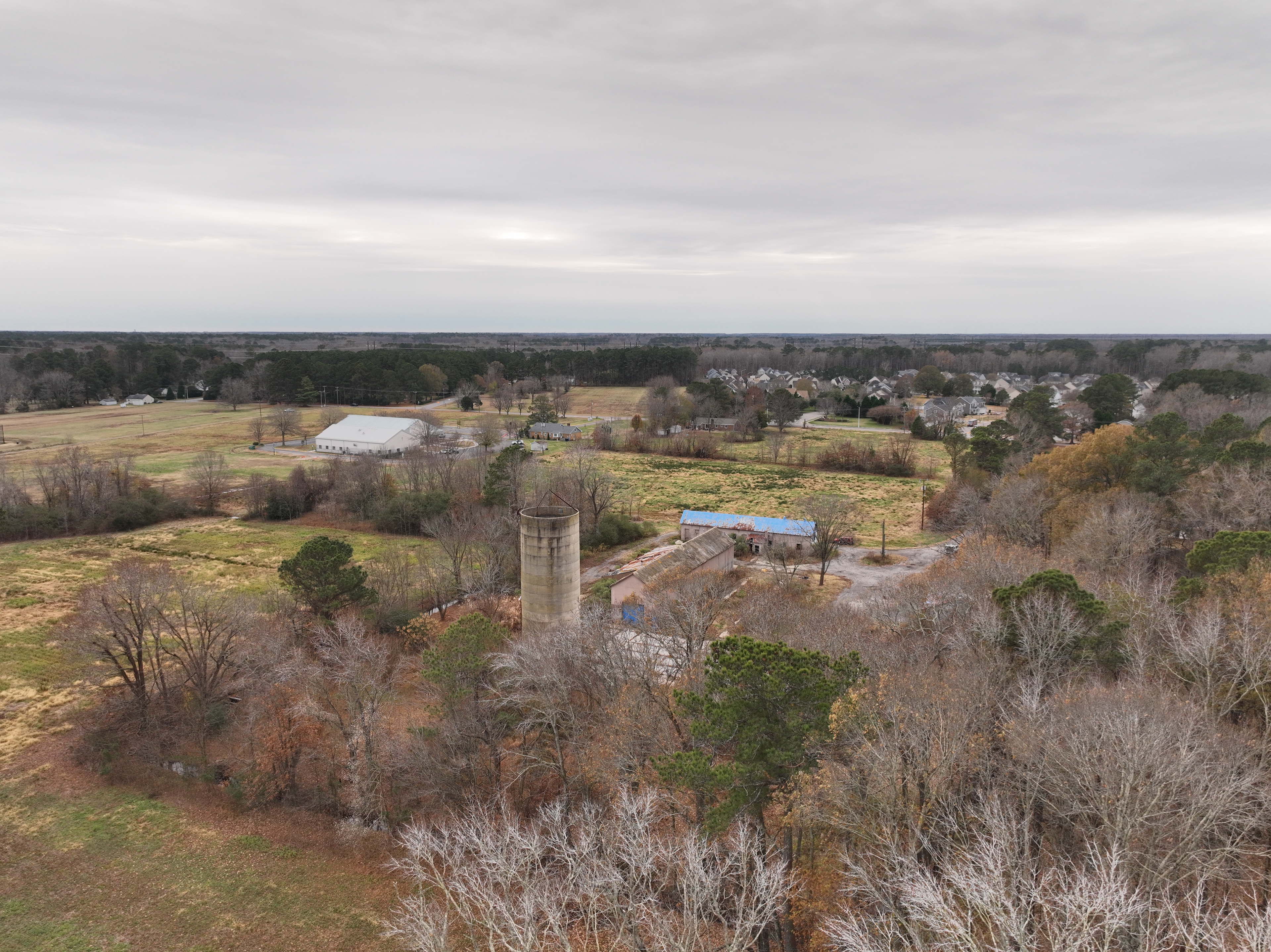
Aerial Perimeter
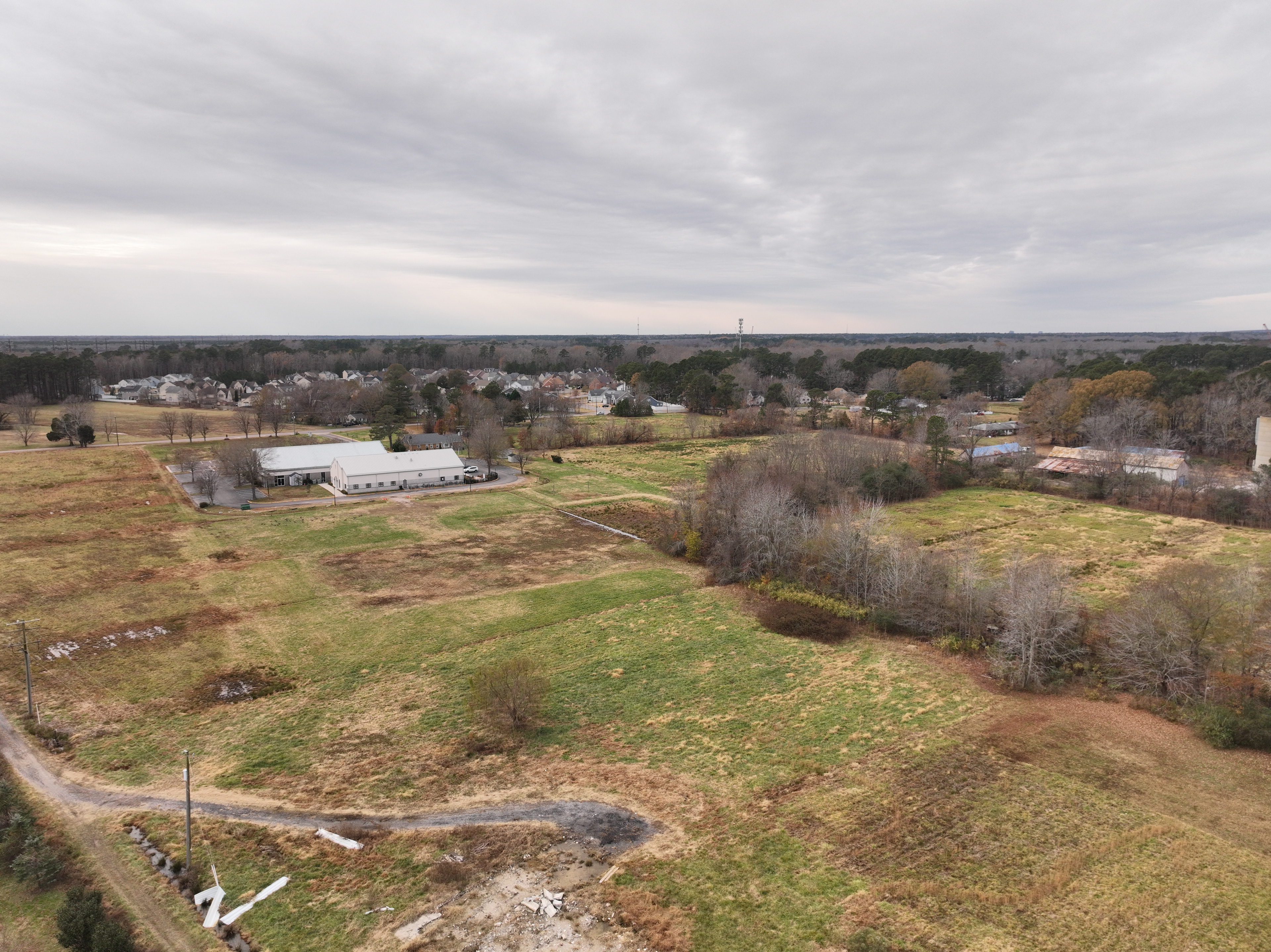
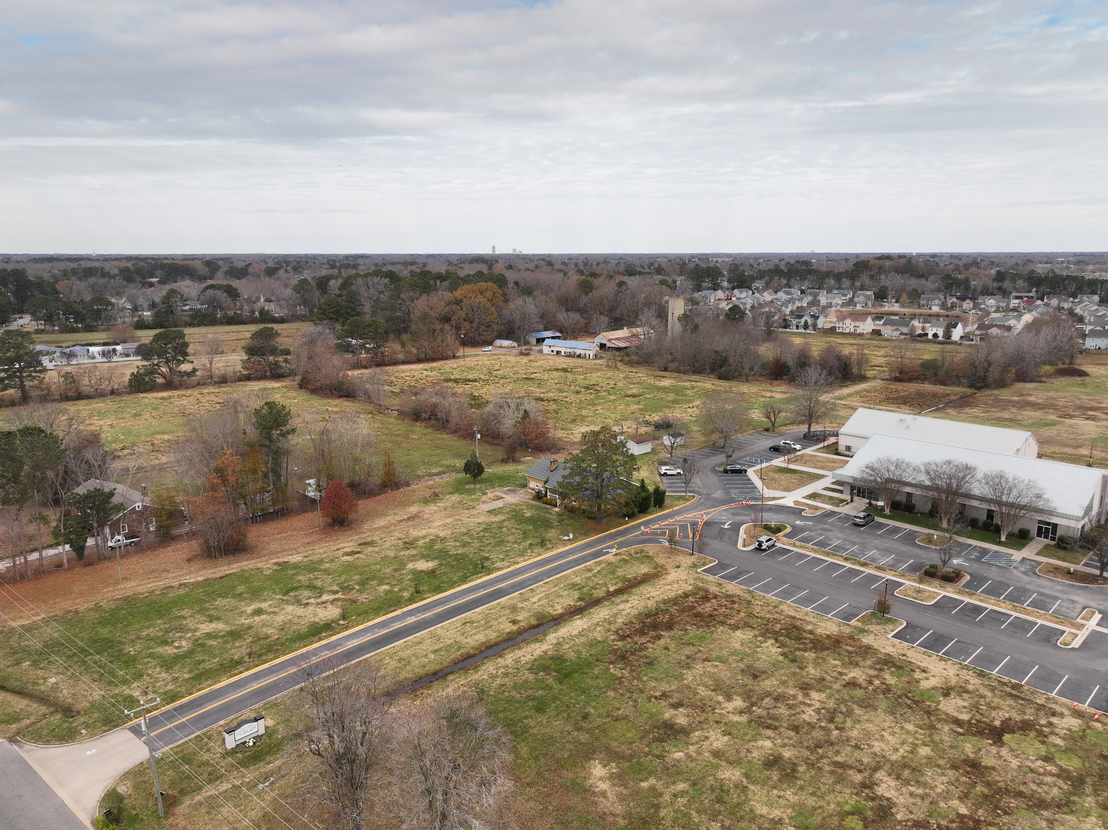
Aerial Perimeter
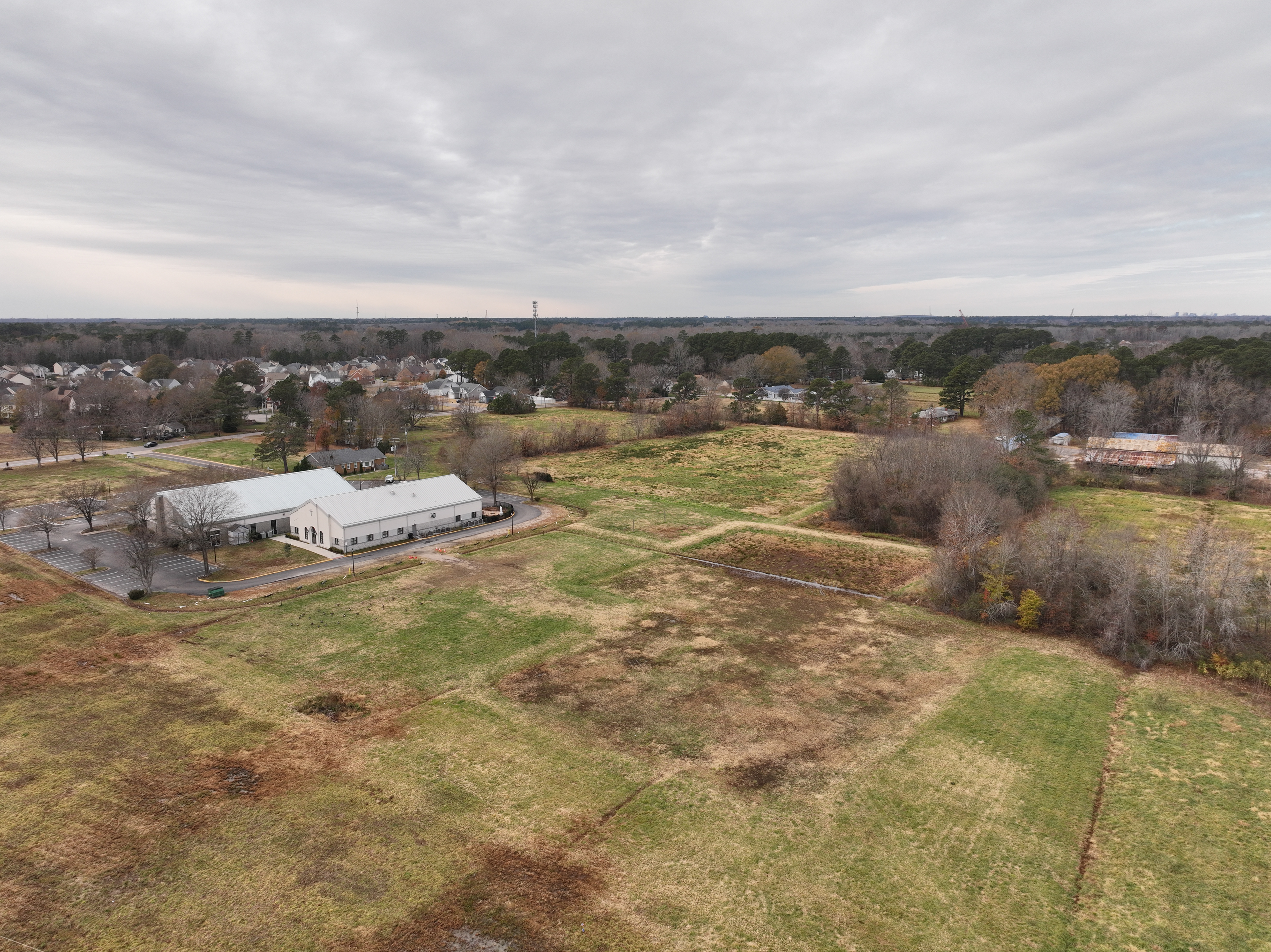
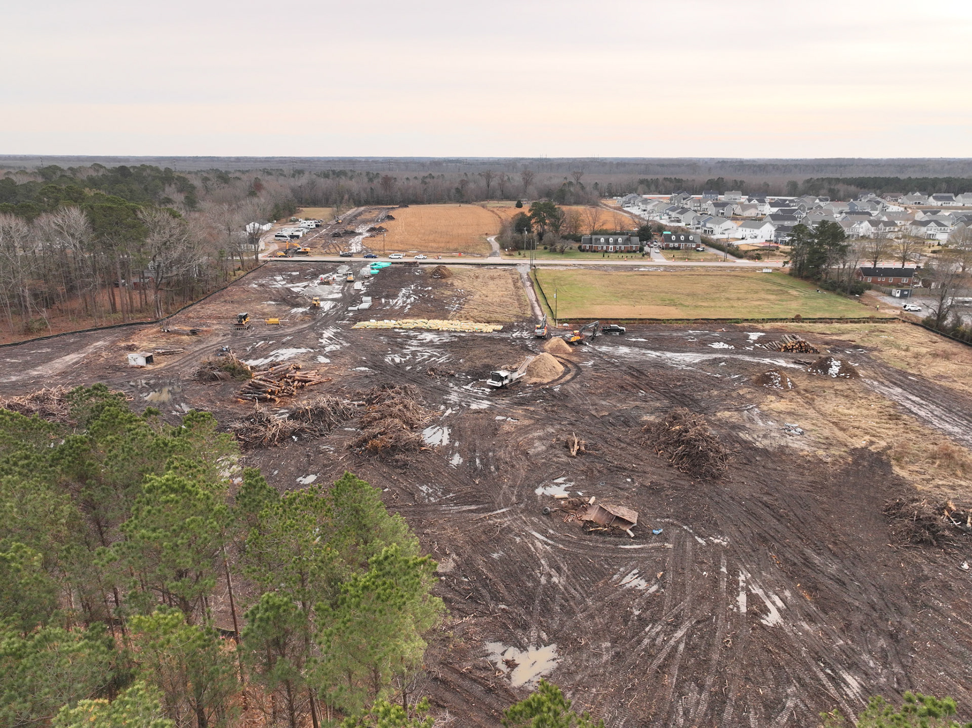
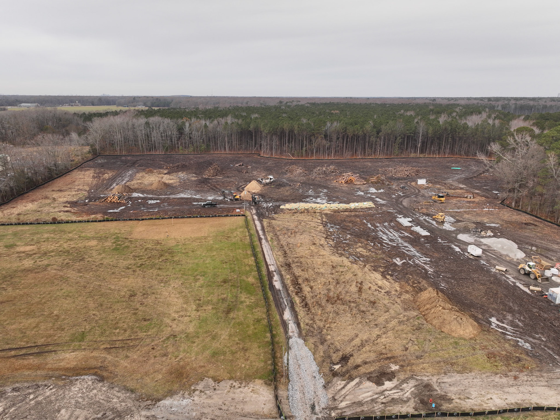
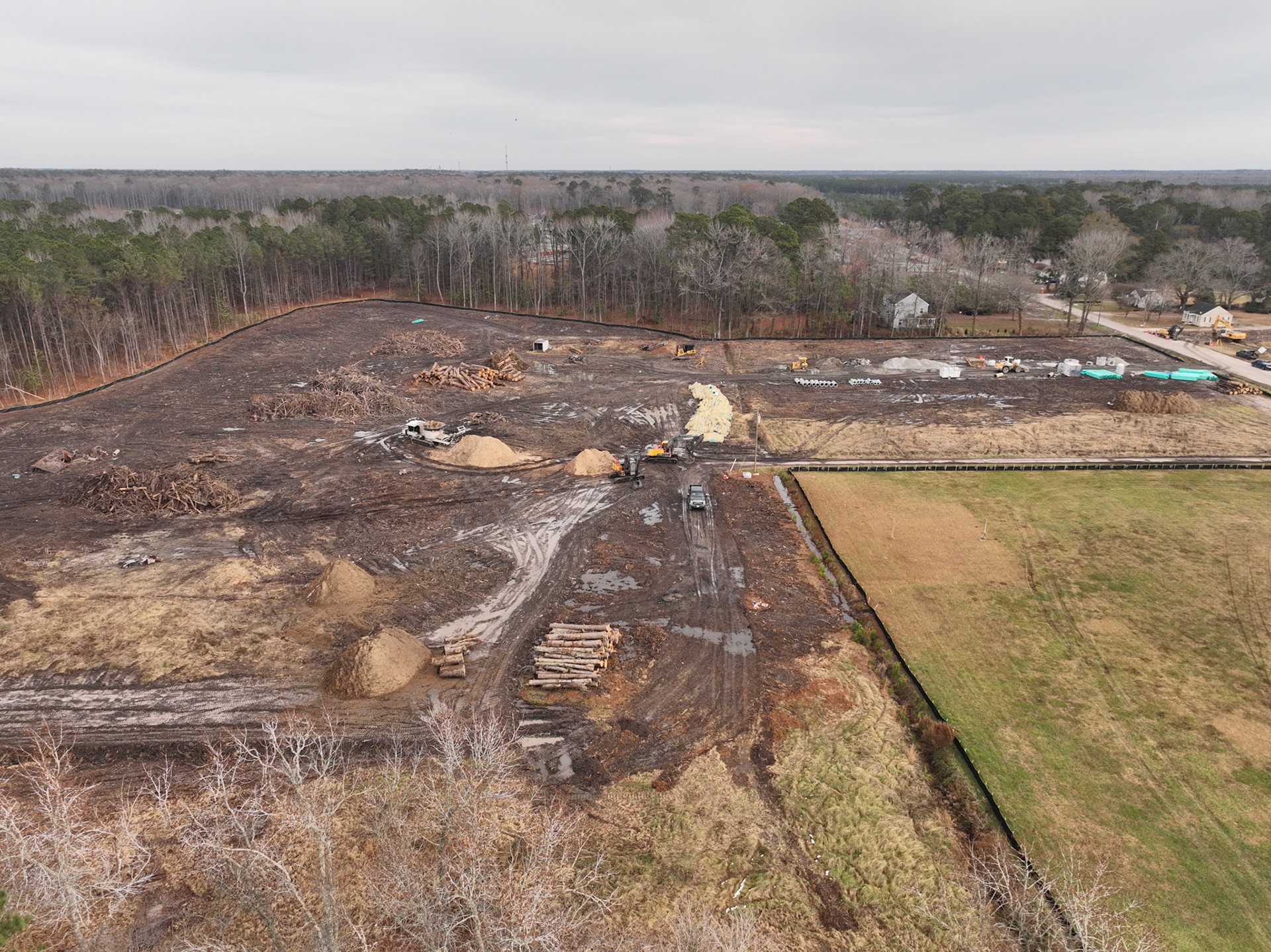
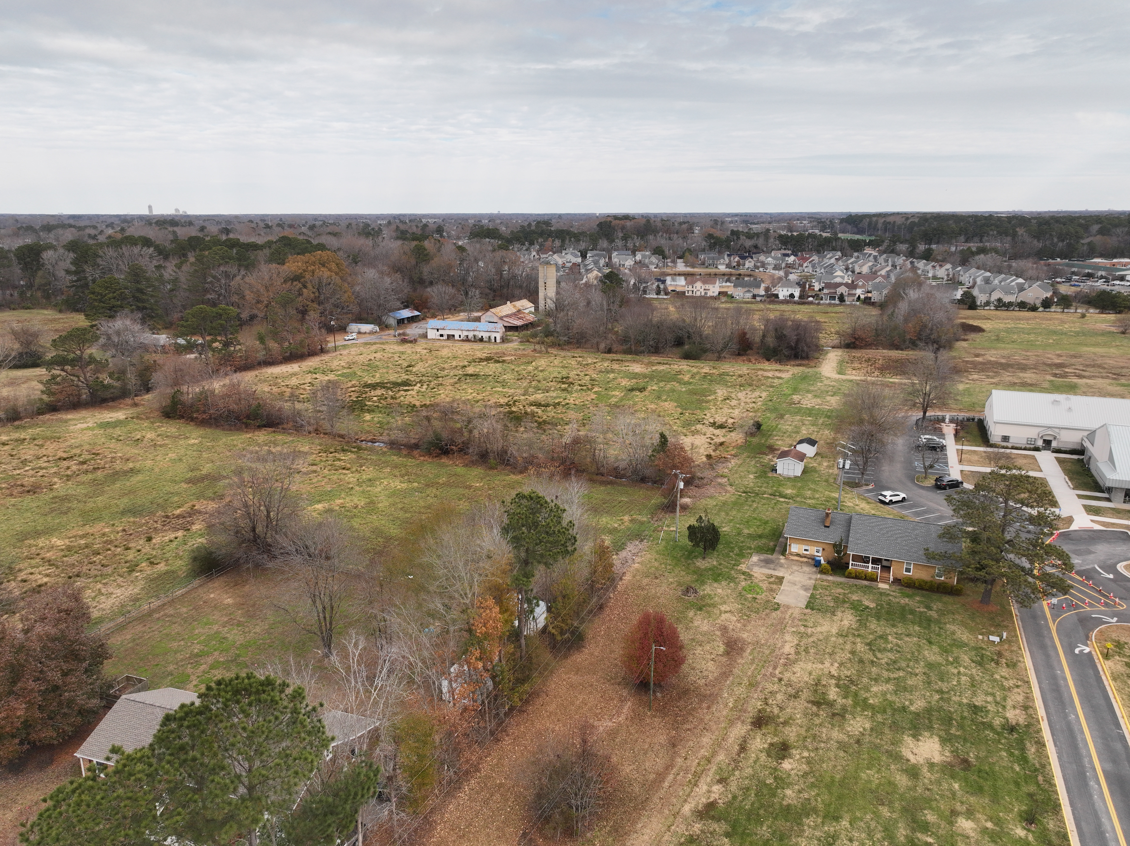
Aerial Perimeter
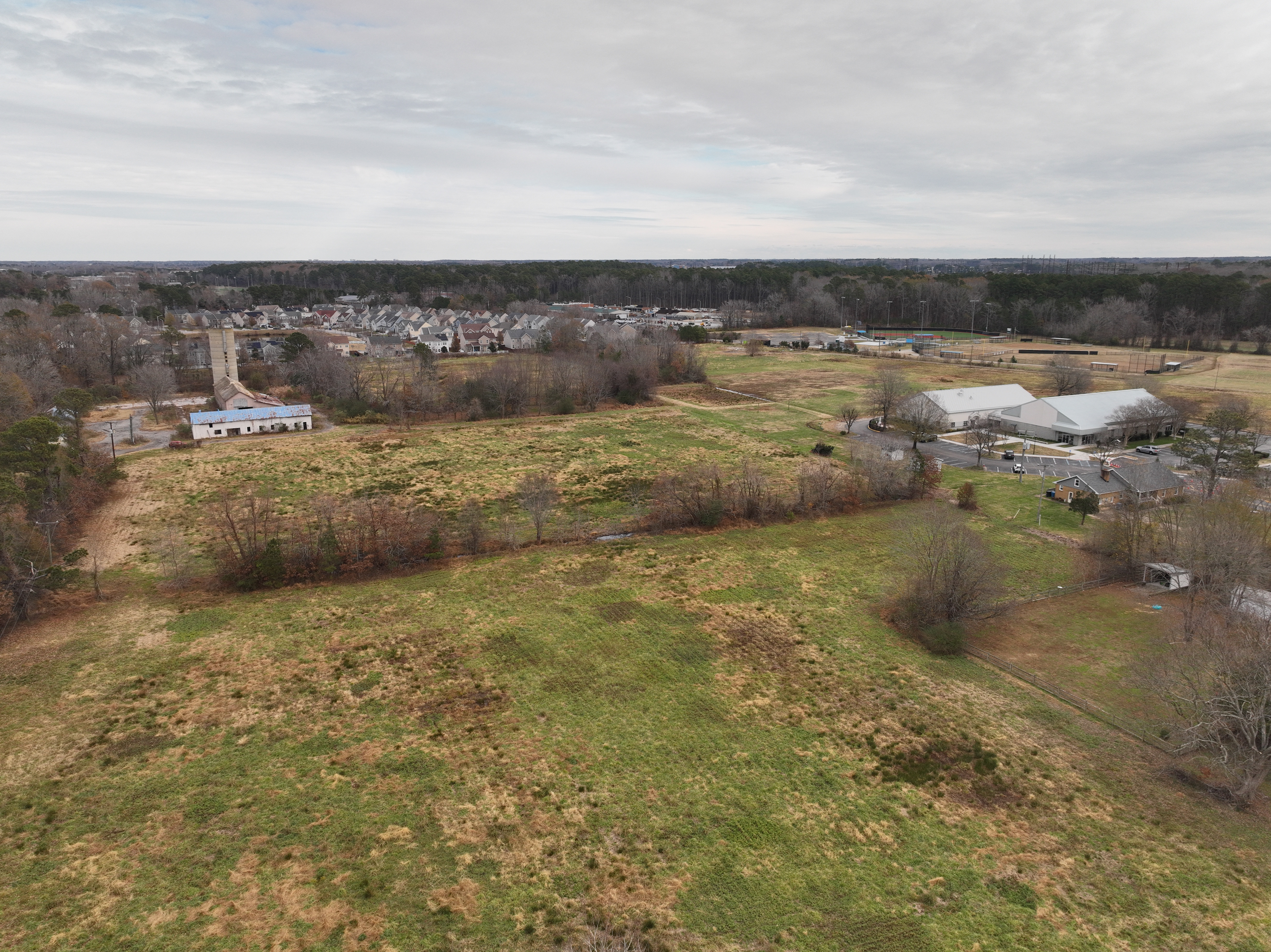
Aerial Perimeter
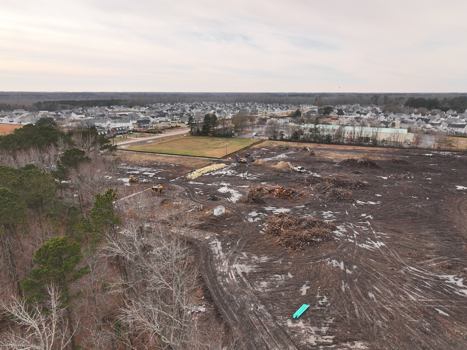
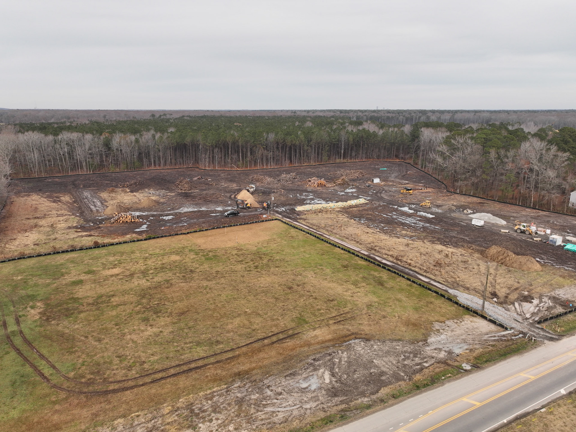
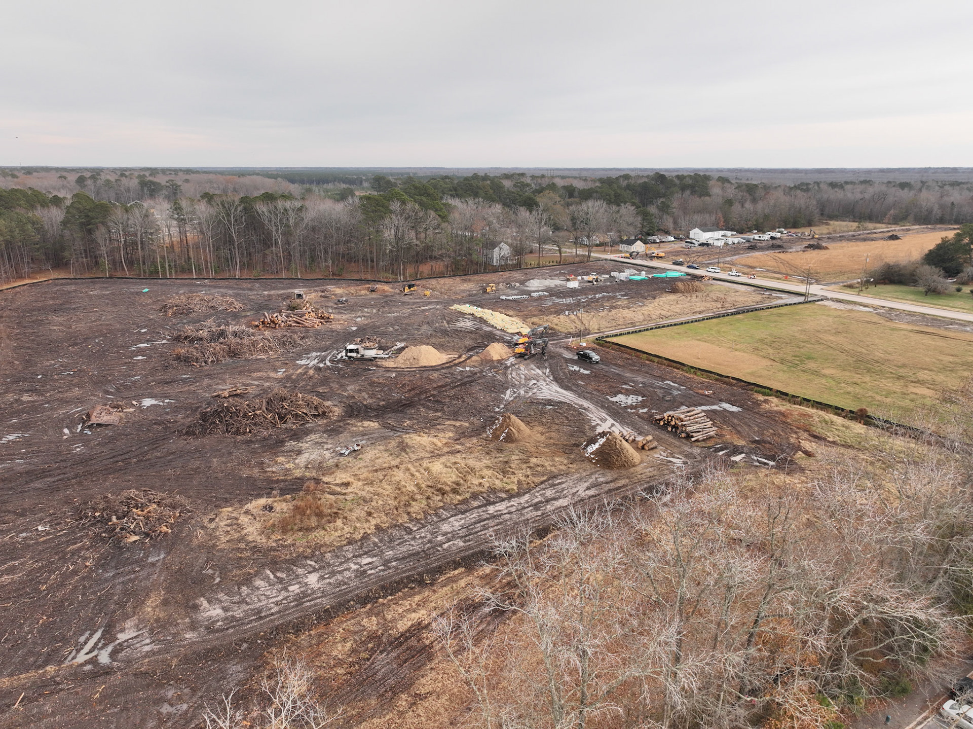
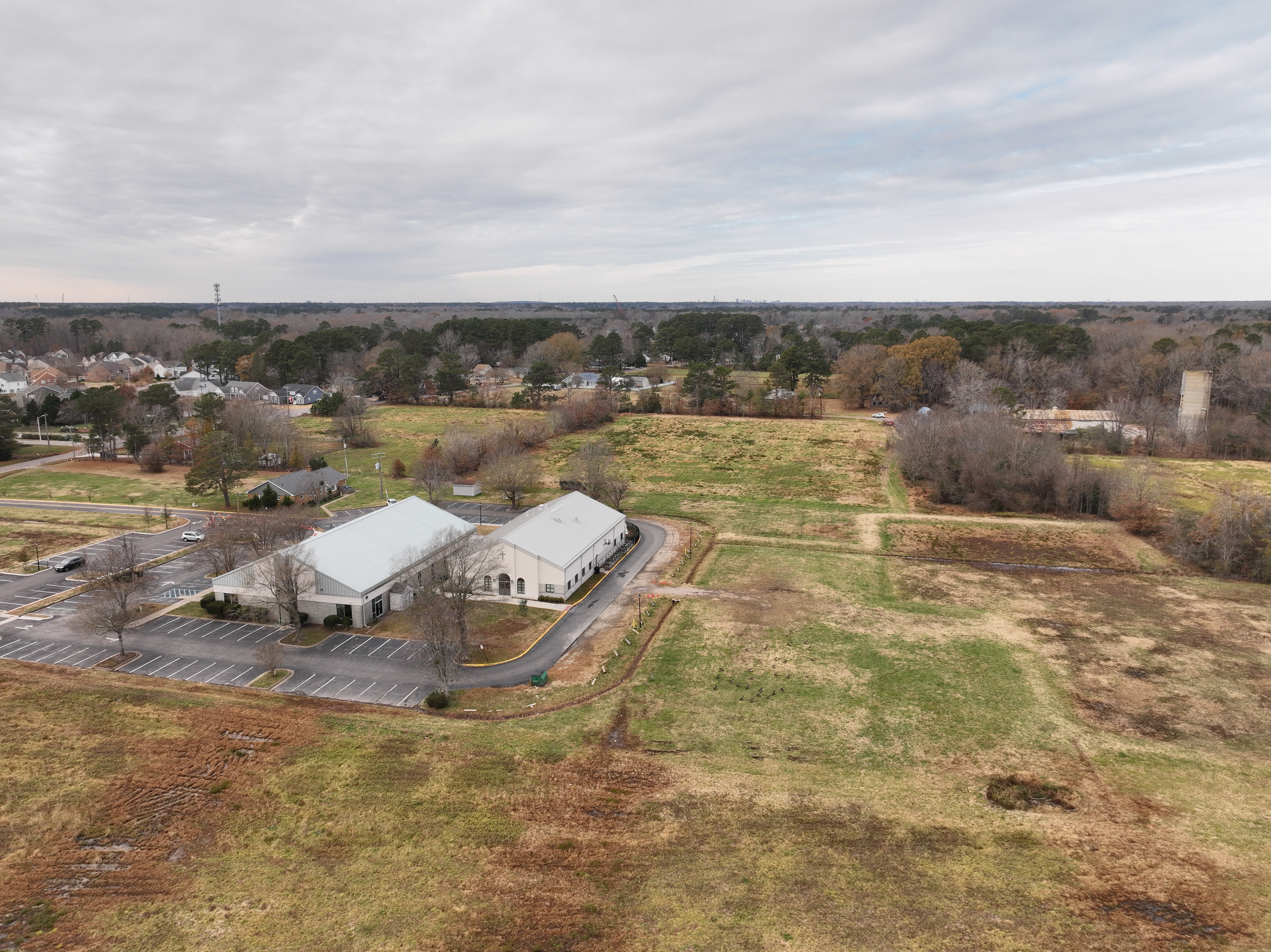
Aerial Perimeter
Aerial Perimeter
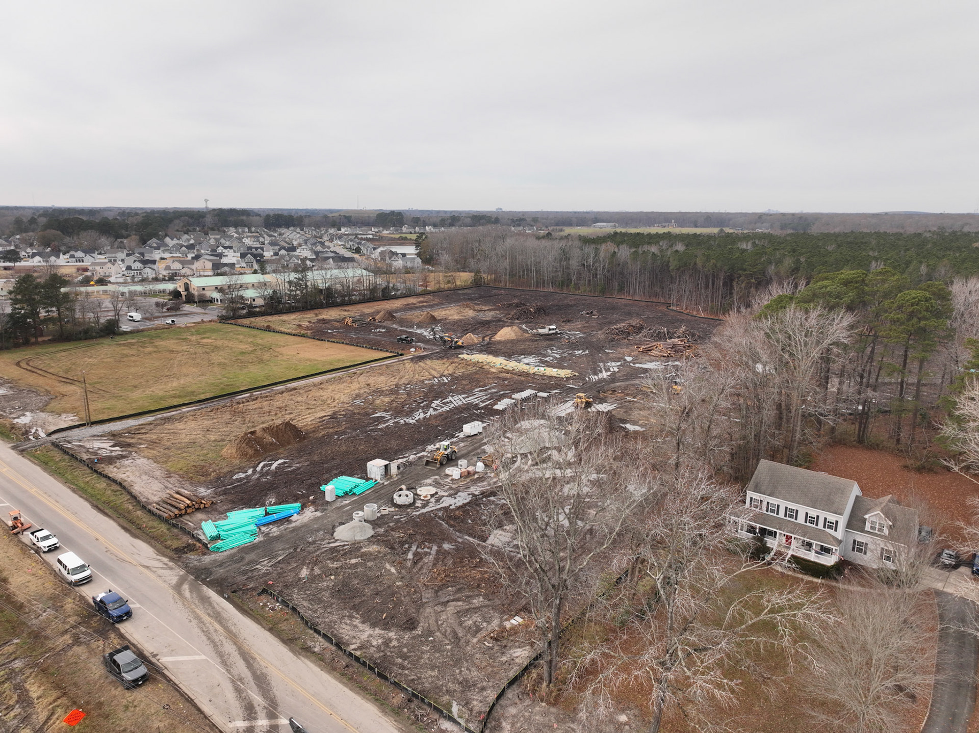
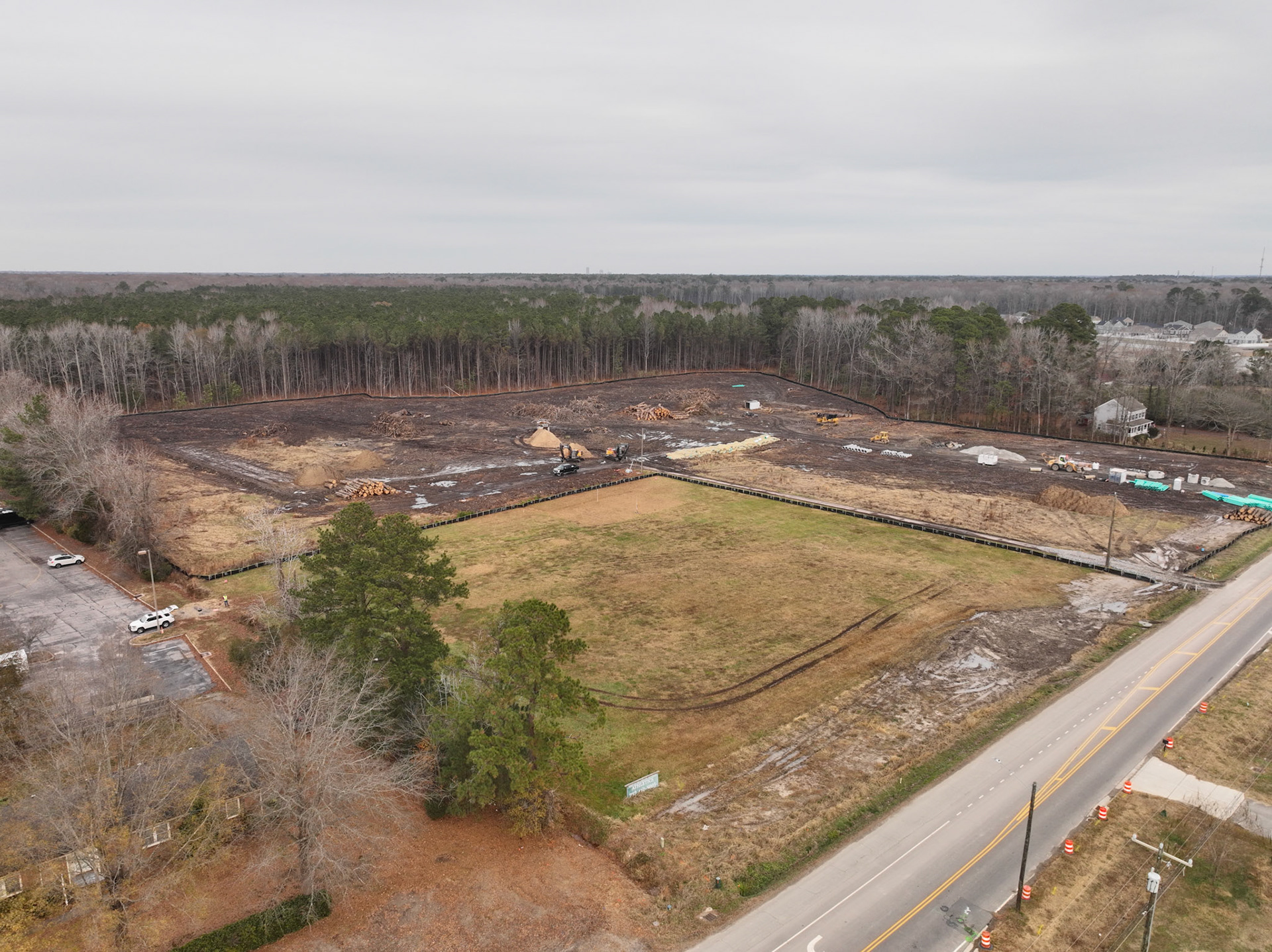
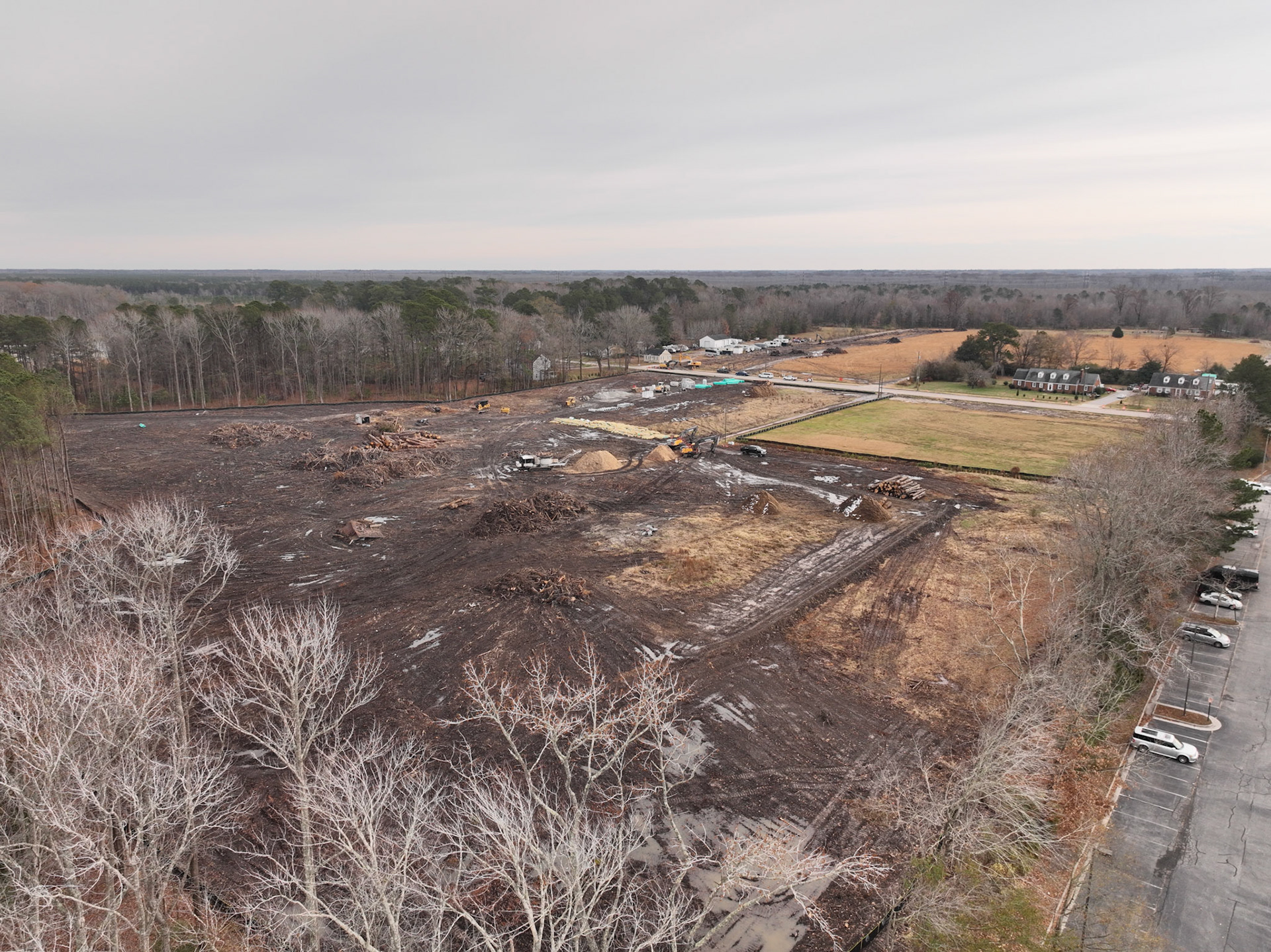
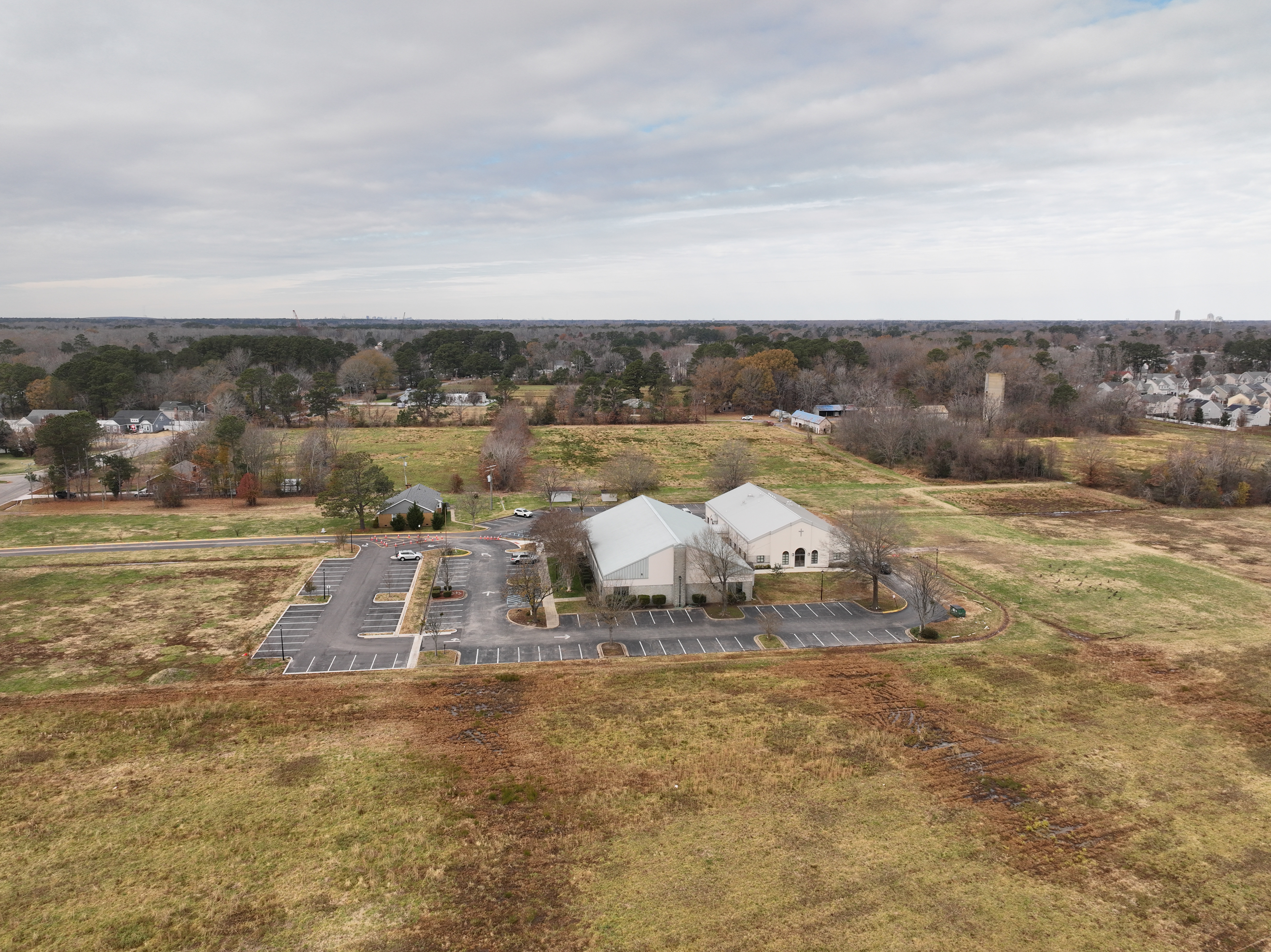
Aerial Perimeter
Aerial Perimeter
Aerial Perimeter
Aerial Perimeter
Aerial Perimeter
Aerial Perimeter
Aerial Perimeter
Aerial Perimeter
Aerial Perimeter
Aerial Perimeter
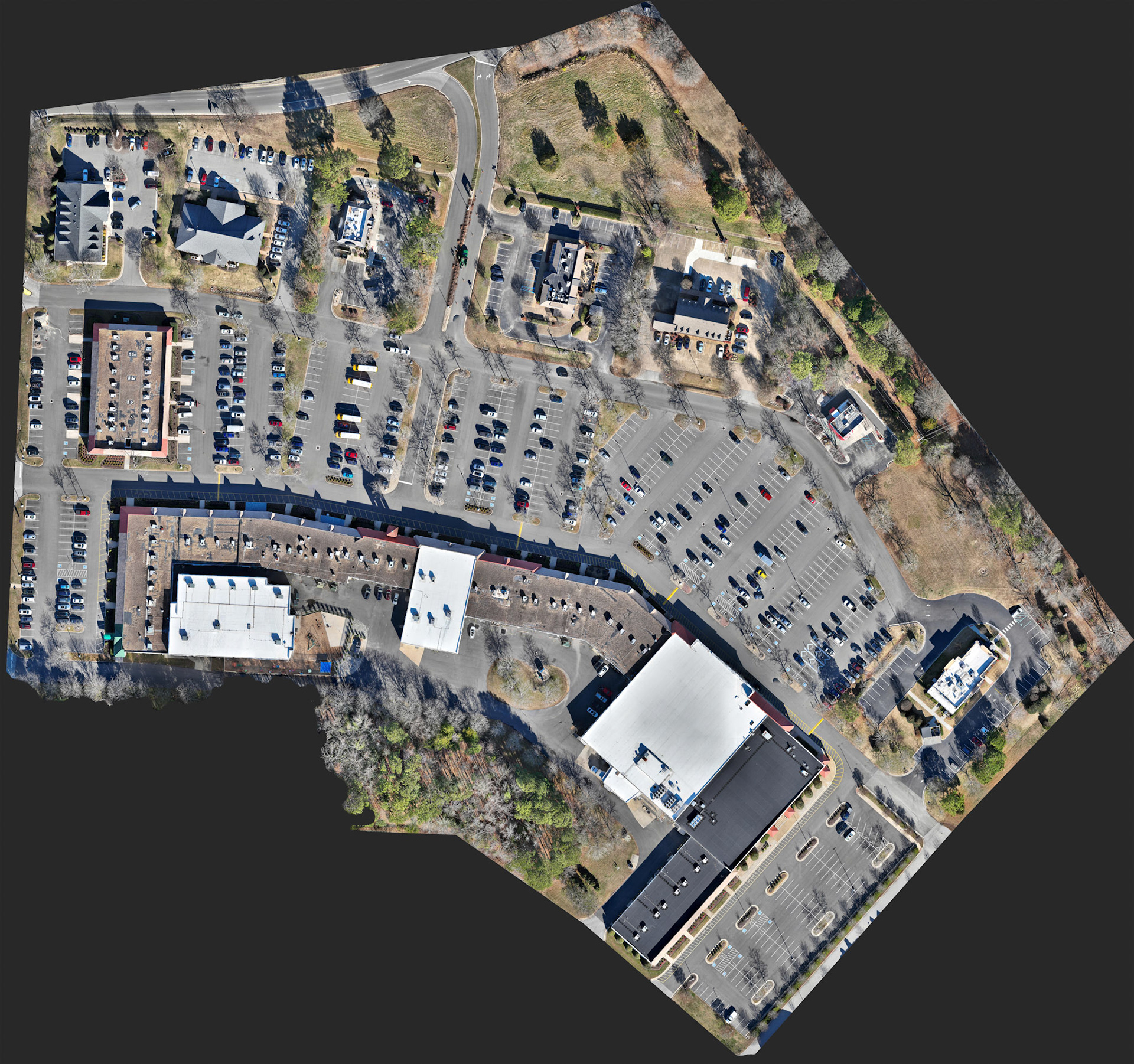
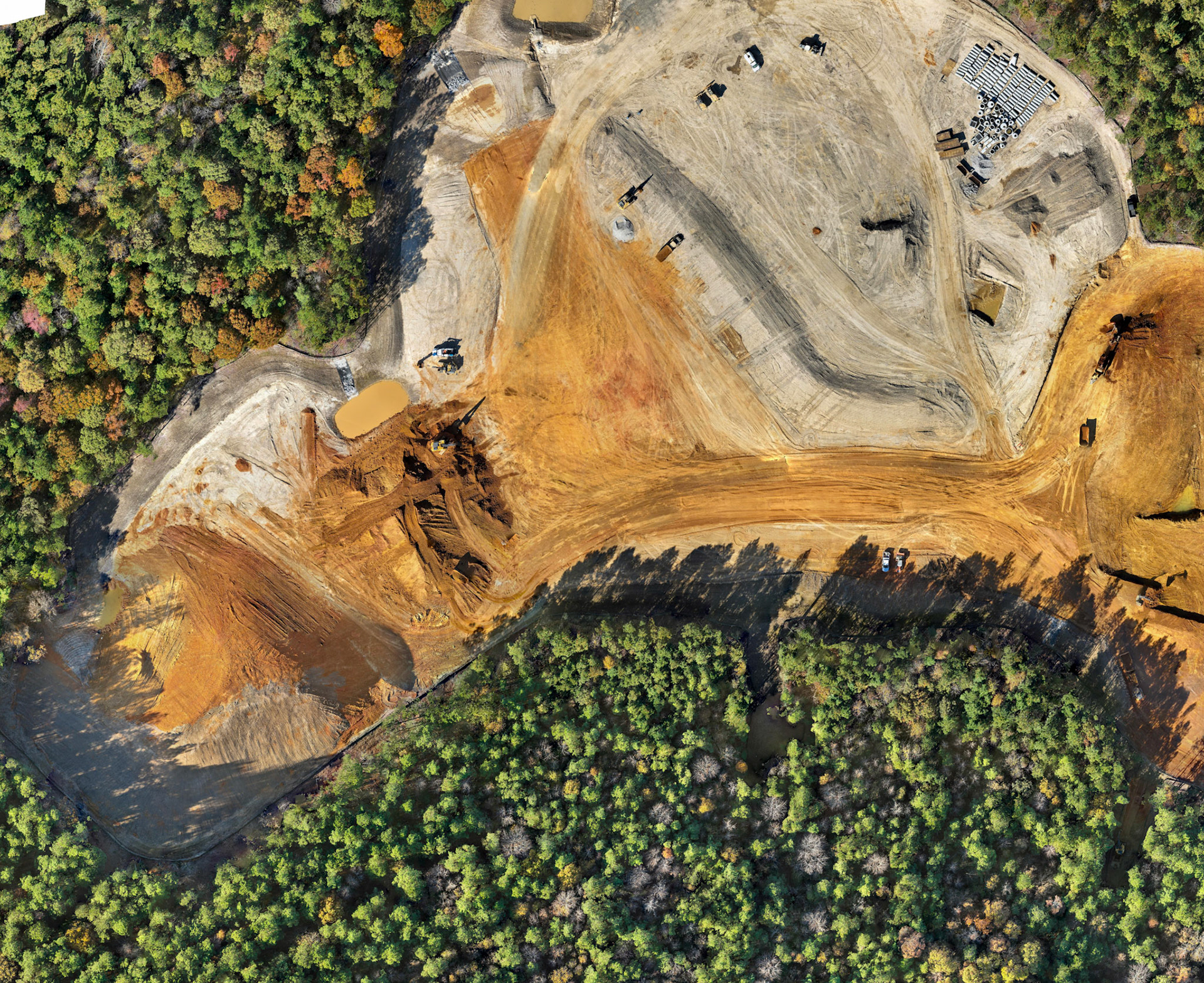
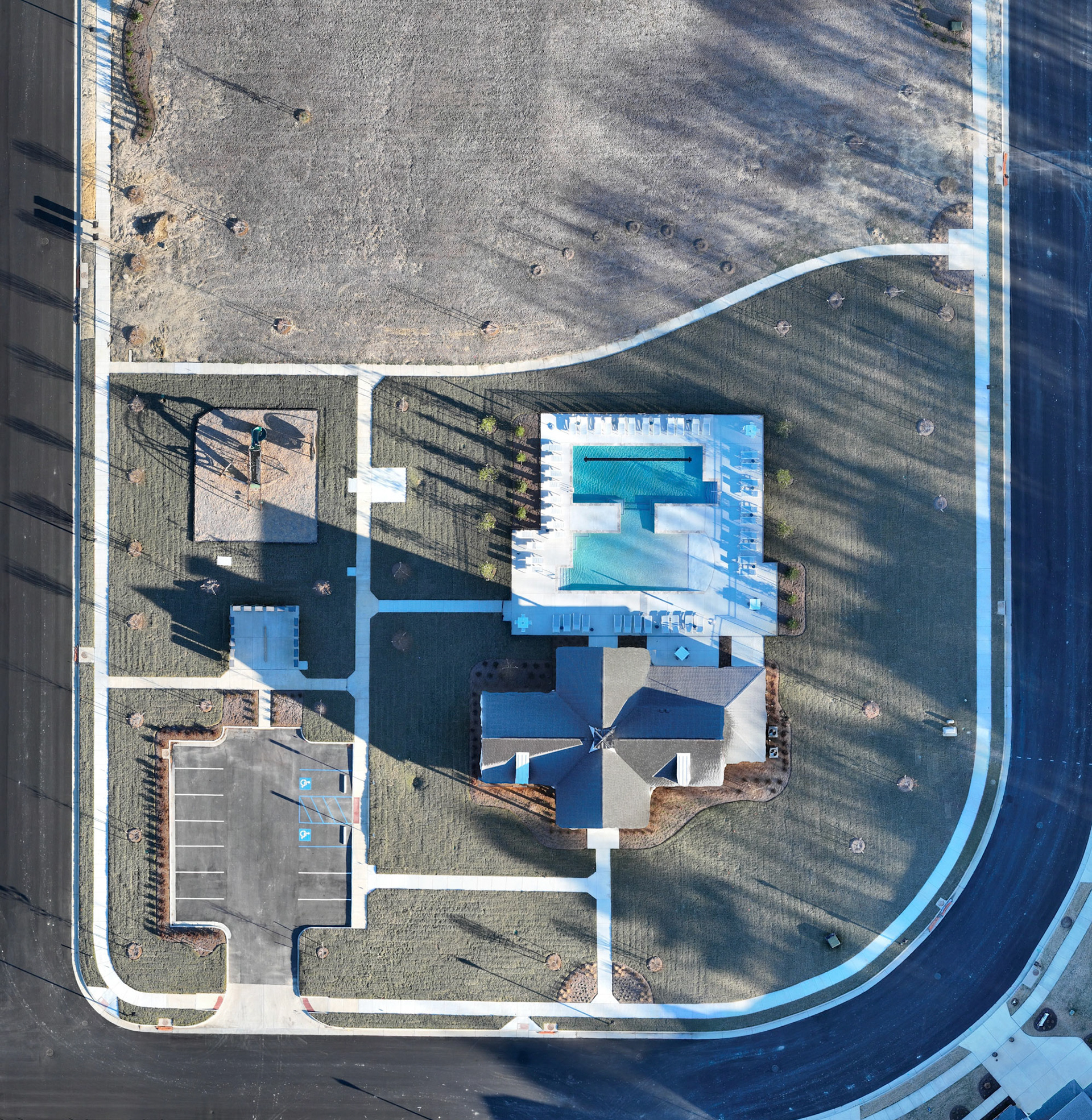
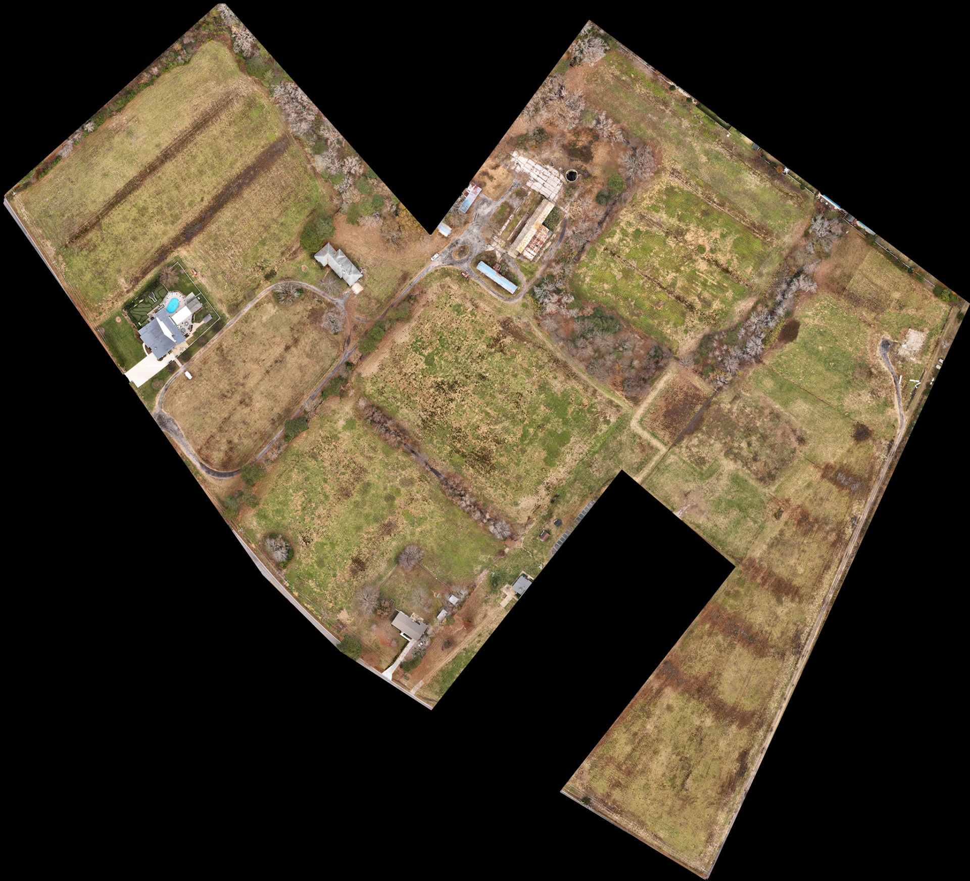
Orthomosiac Aerial Survey
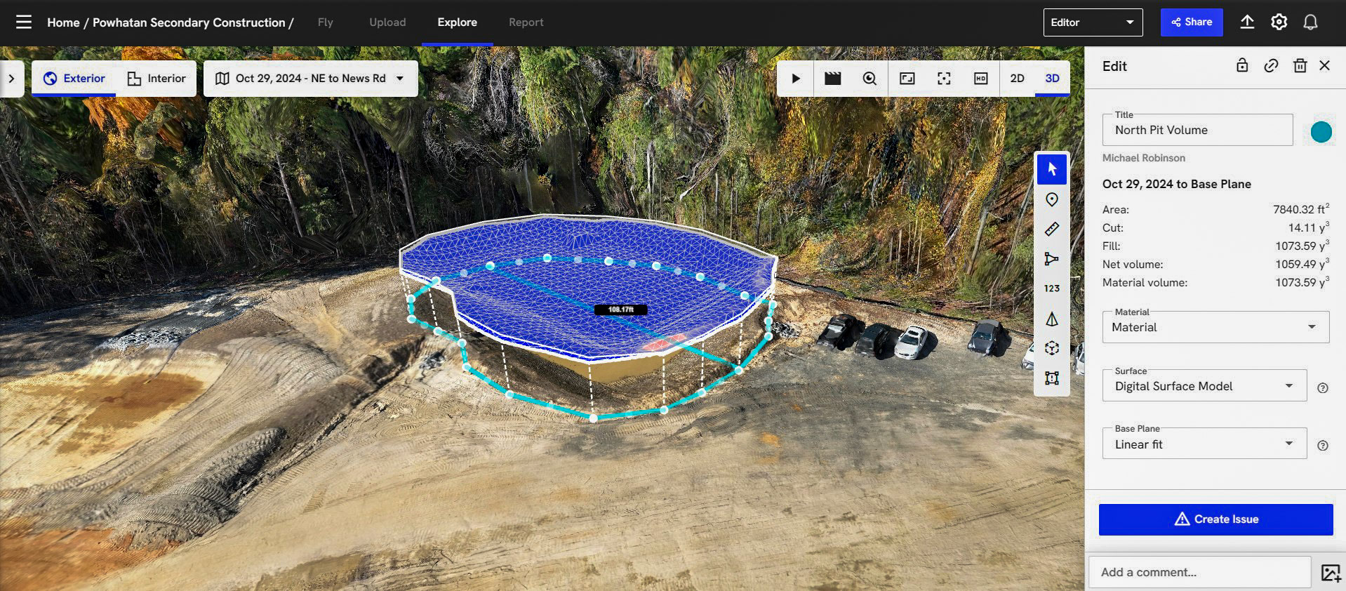
Volumetric Analysis
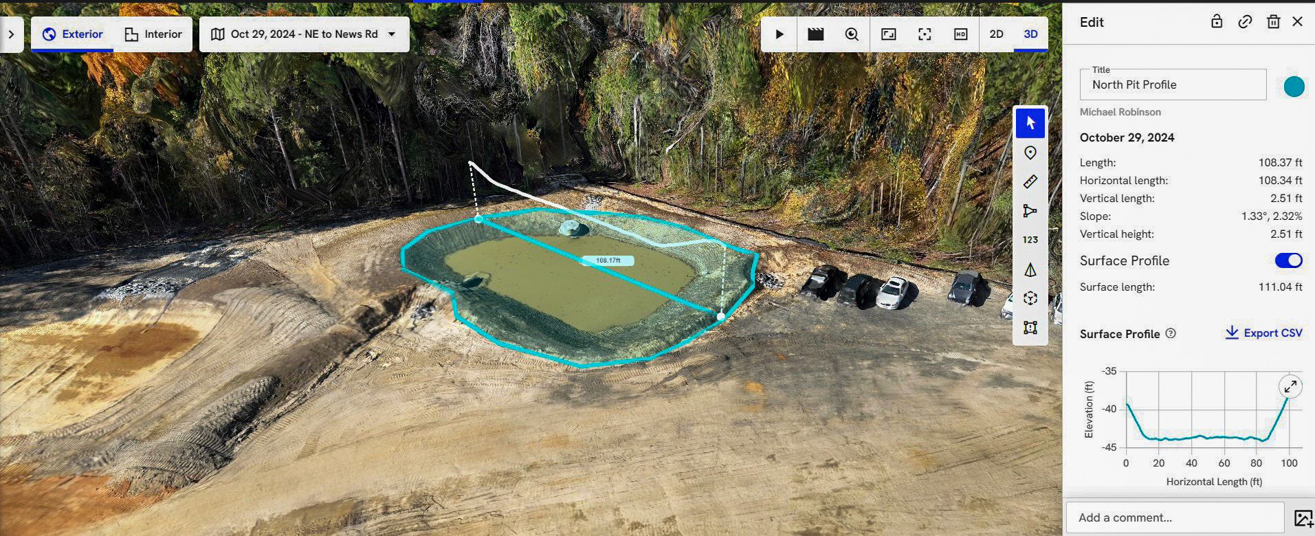
Elevation Profile
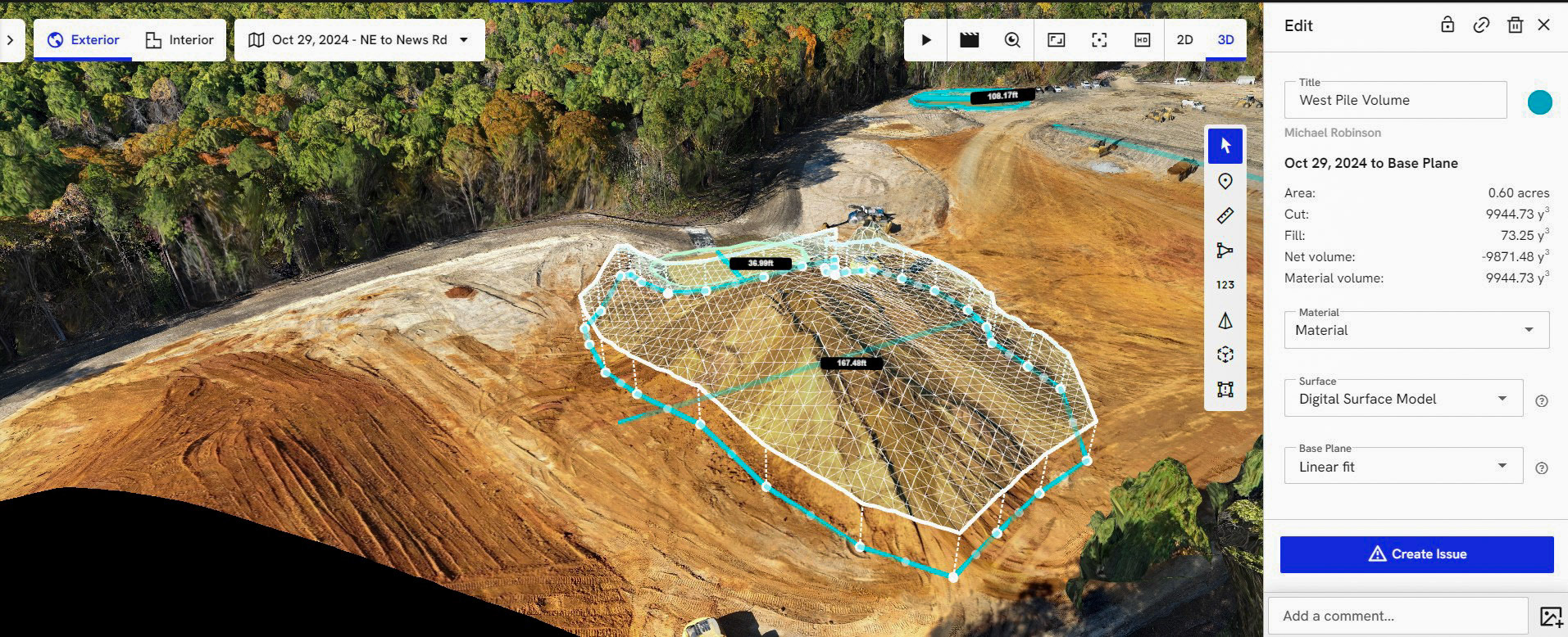
Volumetric Analysis